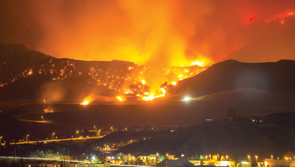
Skip to content

Mapping

Oxford Technical Solutions (OxTS)

Launchpad: Lidar systems, PNT platforms and UAVs

February 27, 2024

1
Photo: ESA

Seen & Heard: Deep sea coral reefs and lava in Iceland

February 27, 2024

This article is tagged with , , , and posted in From the Magazine, Latest News, Mapping, Space & Earth, Survey, UAV/UGV
2
Image: StoneX

Stonex launches hybrid mobile mapping solution

February 26, 2024

This article is tagged with and posted in Latest News, Mapping, Mobile, Survey
3
Image: Inertial Labs

Inertial Labs enhances remote sensing payload

February 23, 2024

This article is tagged with and posted in Latest News, Mapping, Mobile, UAV/UGV
4
Trimble SiteVision Software 5.0. (Image: Trimble)

Trimble launches three new products

February 22, 2024

This article is tagged with , and posted in Latest News, Mapping, Mobile, Survey
5
Photo:

SimActive launches upgraded cloud capabilities

February 21, 2024

This article is tagged with and posted in Latest News, Mapping, Mobile, UAV/UGV
6
Image: TT / iStock / Getty Images Plus / Getty Images

Seen & heard: Mapping the melting arctic and India’s war on drugs

February 16, 2024

7
An example of the highly detailed single-3D survey output from the Axolotl, showing features both above and below the water. (Image: Advanced Navigation)

Charting uncharted waters: Bathymetry in action

February 14, 2024

8