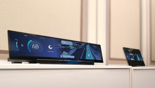
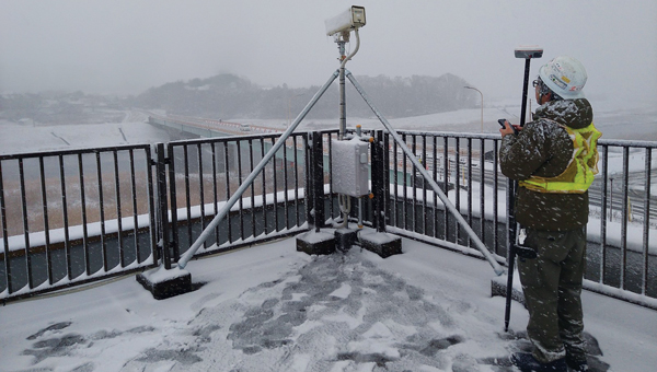
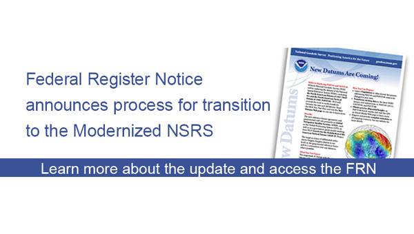
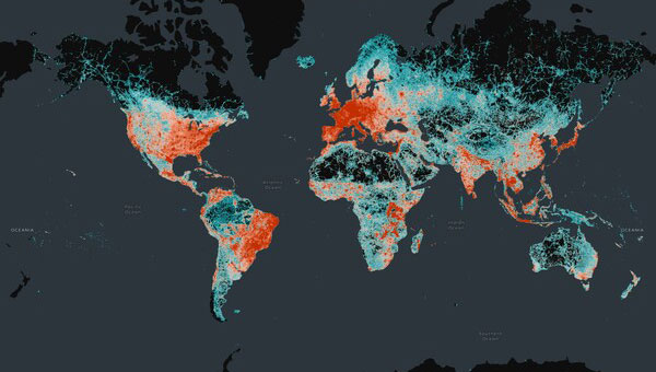
Skip to content

Mapping

Photo:

Inside The Box: Understanding GNSS correction methods

February 9, 2024

1
Plot of earthquakes north of Oklahoma City. (Image: USGS website)

OSU grant proposal includes developing time-dependent models for the new, modernized NSRS

February 7, 2024

2
Image: Inertial Labs

Launchpad: Lidar scanners, OEMs and anti-jamming receivers

February 6, 2024

3
Image: DCU

DCU, Bentley partner for 3D smart city research initiative

February 5, 2024

This article is tagged with , , and posted in Latest News, Mapping
4
A street in Pompeii shows the structures that were remarkably preserved after Mount Vesuvius covered the city in ash in 79 CE. Everything about Porta Nocera, Region I 14 is being digitized by archaeologists. (Image: Allison Emmerson)

Modeling Pompeii: A new era of tech-driven collaboration in archaeology

January 26, 2024

This article is tagged with and posted in Featured Stories, From the Magazine, Latest News, Mapping, Mobile, Survey
5
Image: DJI

DJI launches 3D model editing software

January 24, 2024

This article is tagged with , and posted in Latest News, Mapping, Survey, Transportation, UAV/UGV
6
Image: ComNav Technology

ComNav introduces handheld GIS data collection solution

January 23, 2024

This article is tagged with , and posted in Latest News, Mapping, Mobile, Survey
7
A lidar map of the city of Kunguints in the Ecuadorian Amazon reveals ancient streets lined with houses. (Image: Antoine Dorison and Stephen Rostain)

Lidar reveals lost cities in the Amazon

January 22, 2024

This article is tagged with , , , and posted in Latest News, Mapping, Survey, UAV/UGV
8