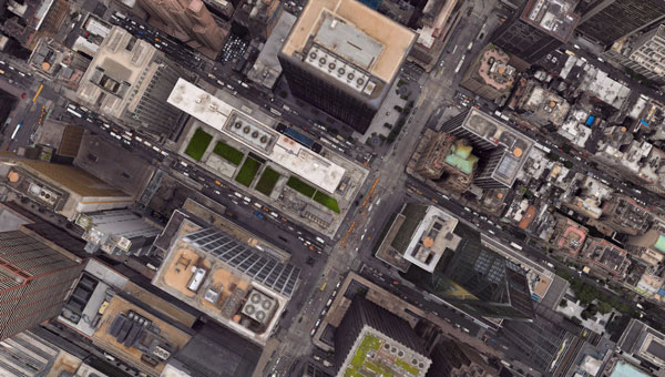
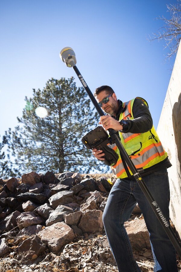
December 9, 2024 6 technology trends that drive automotive mapping and navigation By Oleksandr Odukha
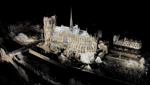
December 4, 2024 Notre Dame Cathedral reopens: 3D mapping guides historic restoration By Jesse Khalil
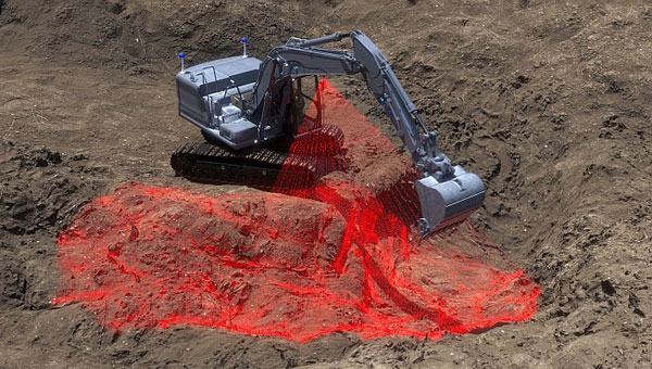
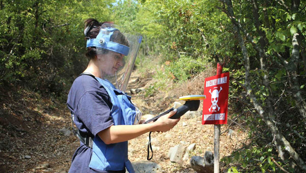
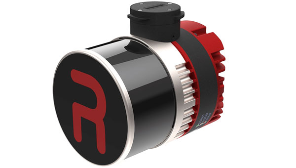
November 18, 2024 Trimble expands collaboration with The HALO Trust on landmine clearance efforts By Jesse Khalil