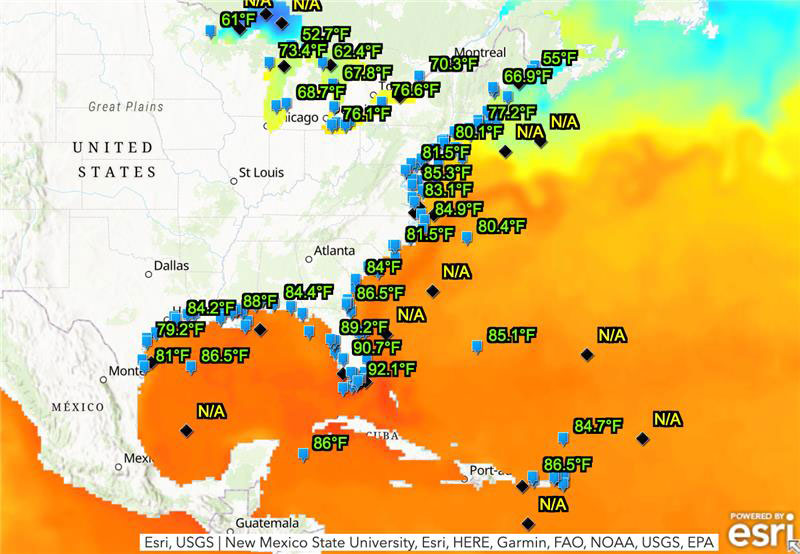
Burning ring of fire: Mapping high ocean temps off Florida coast
July 14, 2023
The ocean off the Gulf of Mexico is undergoing a marine heat wave that could pose a threat to coral reefs, as water temperatures reach 90°F.
Read More

The ocean off the Gulf of Mexico is undergoing a marine heat wave that could pose a threat to coral reefs, as water temperatures reach 90°F.
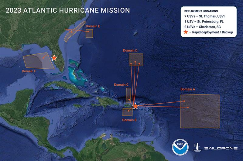
Saildrone is deploying 12 uncrewed surface vehicles (USV) into the tropical Atlantic and Gulf of Mexico this summer supporting the research by the NOAA.
Smoke from the Canadian wildfires continues to pollute the air across the United States, mainly affecting cities in […]
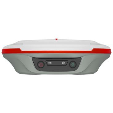
ComNav Technology has released the T20 palm RTK. The GNSS receiver is designed for surveying and mapping, GIS, marine, precision agriculture and machine control.

RIEGL and Schiebel have completed the integration of a laser scanning system, the RIEGL VQ-840-G topo-bathymetric lidar sensor, on the Schiebel CAMCOPTER S-100 UAS.
Follow Us