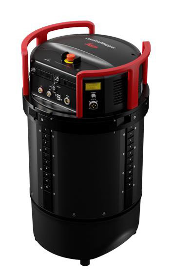
Leica Geosystems releases hybrid imaging and lidar sensor for airborne mapping
June 15, 2023
Leica Geosystems, part of Hexagon, has released the Leica CountryMapper for large-area imaging and lidar mapping.
Read More

Leica Geosystems, part of Hexagon, has released the Leica CountryMapper for large-area imaging and lidar mapping.
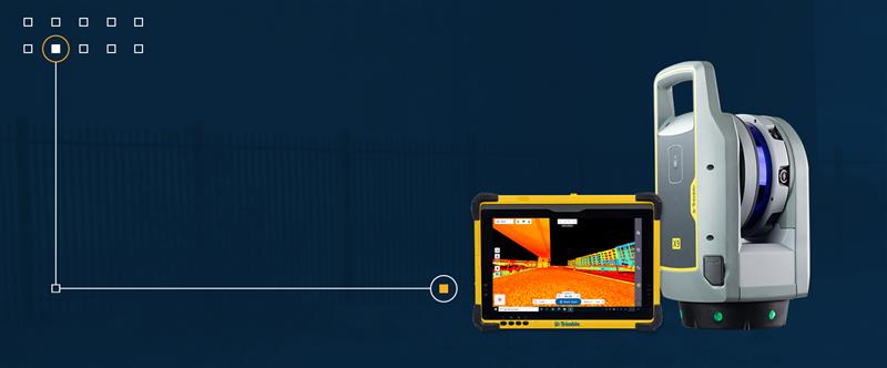
Trimble has released the X9 3D laser scanning system — a versatile reality capture solution suitable for surveying, construction and engineering users.

Birmingham City Council has launched a mapping portal, created by Bluesky International, to address the issue of tree equity across the city.

The Nippon Foundation—General Bathymetric Chart of the Oceans (GEBCO) Seabed 2030 Project has partnered with NORBIT Oceans, a […]

Toyota and Lexus are now utilizing Mapbox’s technology to deliver navigation features. Mapbox’s maps software development kit incorporates a map design that complements Toyota’s multimedia system, making turn-by-turn navigation intuitive for drivers.

Leica Geosystems, part of Hexagon, has released an addition to its Leica Pegasus TRK portfolio of mobile mapping solutions, the Leica Pegasus TRK100.

The Kahramanmaraş Earthquake Sequence struck near Nurdağı, Türkiye, on Feb. 6 collapsed several buildings and has claimed more than 50,000 lives.
Follow Us