
Launchpad: Navigation software, UAV and lidar systems
March 20, 2023
A roundup of recent products in the GNSS and inertial positioning industry from the March 2023 issue of GPS World magazine.
Read More

Cellphone and vehicle location data is at center stage as Alex Murdaugh takes the stand in the trial for the murder of his wife, Maggie Murdaugh, and son, Paul Murdaugh.

An all-of-the-above approach lead to the novel design of a rover system
that can serve a wide variety of field surveying and mapping applications.

GMV is using high-resolution optical imagery to map the population and infrastructure of several cities in Turkiye after the 7.8 magnitude earthquake.
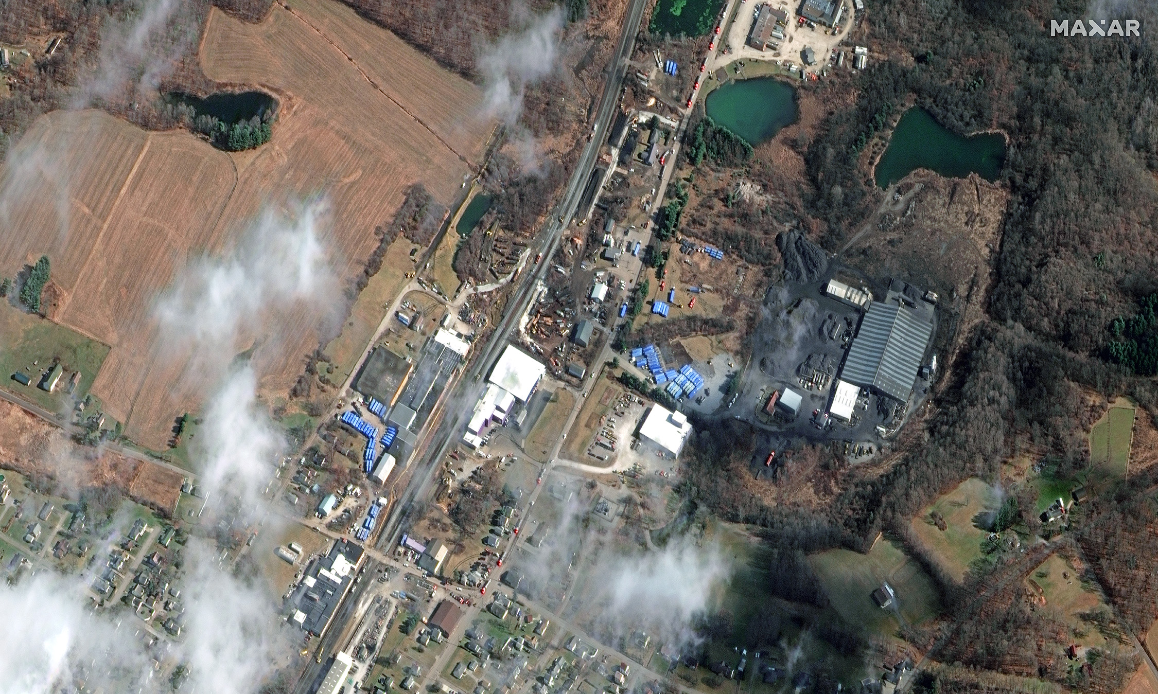
Maxar Technologies shared via Twitter satellite imagery from the aftermath of the train derailment and explosion in East Palestine, Ohio.
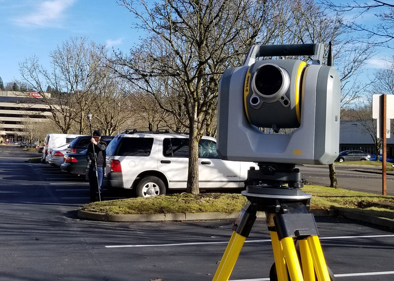
The addition of scanning capabilities to robotic total stations enables surveyors to operate two instruments simultaneously, with the same field data collector and software.
Follow Us