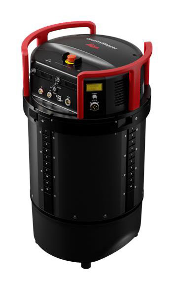
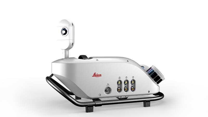
June 15, 2023 Leica Geosystems releases hybrid imaging and lidar sensor for airborne mapping By Maddie Saines
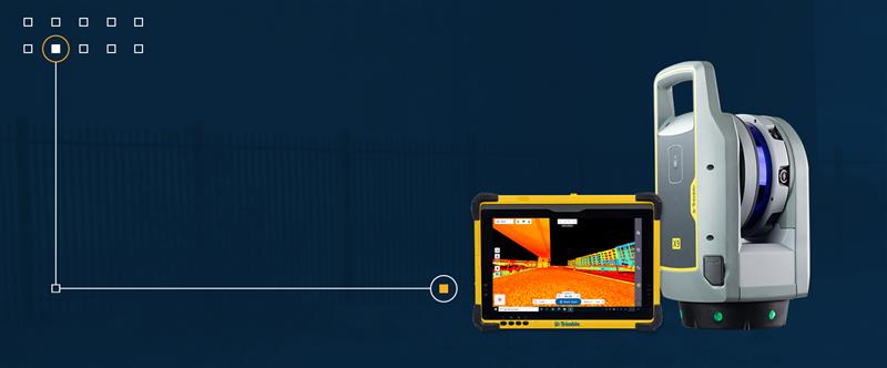
May 25, 2023 Seabed 2030 Project and NORBIT Oceans collaborate on global ocean mapping By Maddie Saines
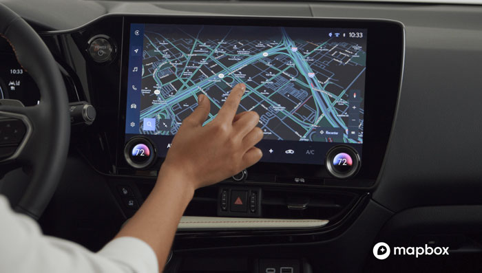
May 17, 2023 Mapbox collaborates with Toyota and Lexus on in-vehicle navigation tech By Maddie Saines