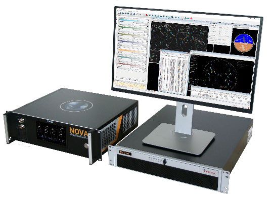
Launchpad: Rescue beacon, satellite imagery, z-axis positioning
November 10, 2022
A roundup of recent products in the GNSS and inertial positioning industry from the November 2022 issue of GPS World magazine.
Read More

A roundup of recent products in the GNSS and inertial positioning industry from the November 2022 issue of GPS World magazine.

“Seen & Heard” is a monthly feature of GPS World magazine, traveling the world to capture interesting and […]
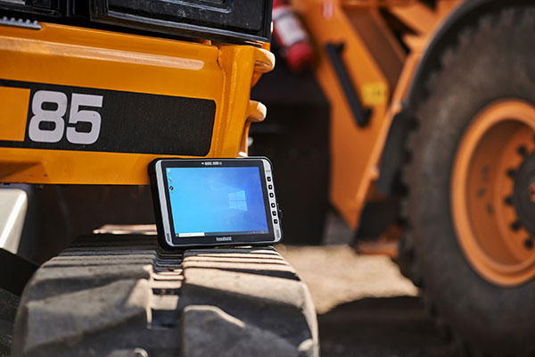
Handheld Group, a manufacturer of rugged mobile computers, has released the Algiz 10XR, a rugged 10-inch Windows tablet […]
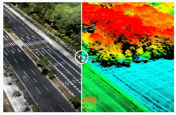
Cepton Inc. is working with LidarSwiss Solutions GmbH to deploy its lidar technology in a drone-based mapping and […]

Editor-in-Chief Matteo Luccio met with two representatives from YellowScan to discuss its global market and a recent end-user success story out of Antarctica.
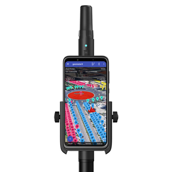
Geometer International, a Ukrainian developer of GNSS/RTK instruments and applications for satellite positioning, has introduced the Walker RTK, […]

Precisely announced that Devon and Cornwall Police leveraged its GIS software to enhance safety measures during the 2021 G7 Summit.
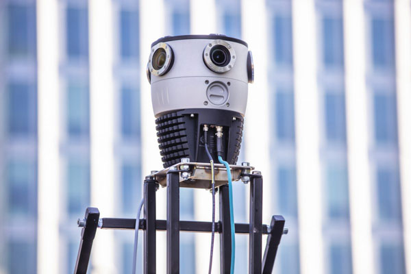
Mosaic, a geospatial imaging company, announced its new Mosaic X spherical camera is now compatible with RIEGL’s mobile mapping systems.
Follow Us