Skip to content

Mapping

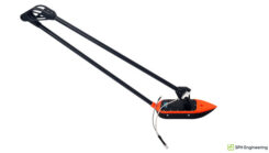
Credit: SPH Engineering

SPH Engineering launches multibeam echosounder payload for UAVs

September 4, 2025

This article is tagged with , and posted in Latest News, Mapping, Survey, UAV/UGV
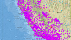
Plot of CSRN

California updates its spatial reference network

September 3, 2025

This article is tagged with , , , , and posted in Latest News, Mapping, Opinions, Survey
Image: World Geospatial Industry Council

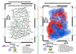
Ghana launches nationwide CORS network exercise

August 20, 2025

This article is tagged with , and posted in Latest News, Mapping, Survey
Credit: kalasek / E+ / Getty Images

Changes in OPUS products when the new NSRS is adopted: what does this mean to users?

August 5, 2025

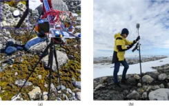
ASPA 135 ground setup for HSI and GNSS RTK data collection. (a) Precise positioning of a Konova slider attached to two tripods on rocks, to minimize disturbance of moss and lichen. (b) GNSS RTK point collection with a Trimble R10 antenna on a fixed marker with known coordinates. (Credit: QUT)

Drones detect moss beds and changes to Antarctica climate

July 28, 2025

Credit: Airbus

SandboxAQ and Acubed advance magnetic navigation 

July 16, 2025

Credit: CHCNAV

CHC Navigation launches vehicle-mounted mobile mapping system

July 14, 2025

This article is tagged with , , , and posted in Latest News, Mapping, Survey
Photo: CHCNAV

CHCNAV’s cloud-based platform enhances 3D data processing and collaboration

July 8, 2025

This article is tagged with , and posted in Latest News, Machine Control/Ag, Mapping