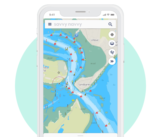
November 30, 2022 Waterway Guide and marine tech company savvy navvy enter partnership By Tracy Cozzens
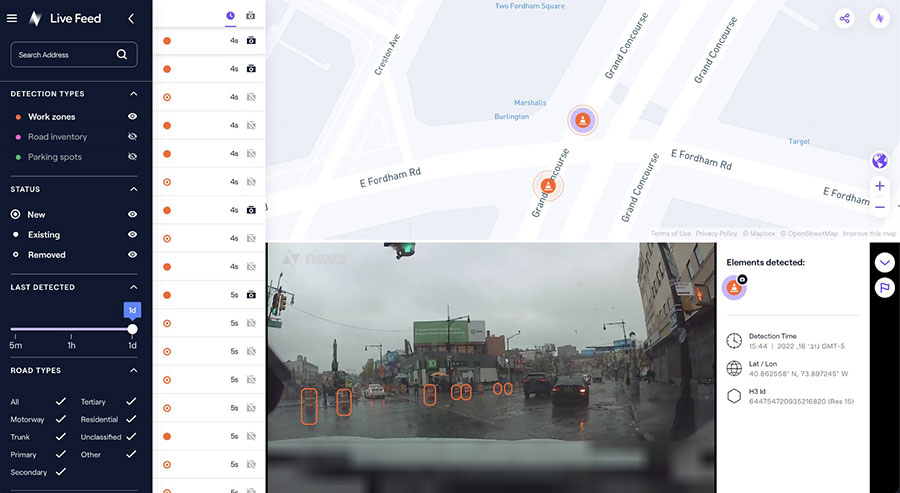
November 28, 2022 Nexar releases CityStream Live, a real-time mapping platform for mobility By Tracy Cozzens
November 28, 2022 NV5 Geospatial uses remote sensing for utility distribution management By Tracy Cozzens
November 28, 2022 Xplore and UP42 partner to bring satellite data to geospatial customers By Tracy Cozzens