October 31, 2022 LidarSwiss deploys Cepton lidar, Applanix IMU/GNSS for high-fidelity mapping By Tracy Cozzens
October 28, 2022 Exclusive: YellowScan discusses market, use cases at INTERGEO 2022 By Marie Emerick and Matteo Luccio
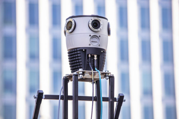
October 21, 2022 Mosaic debuts Mosaic X, compatible with REIGL mobile laser scanners By Marie Emerick
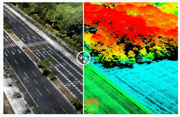
September 21, 2022 Where have all the flowers gone? Mapping tool shows crop devastation of Ukraine war By Tracy Cozzens
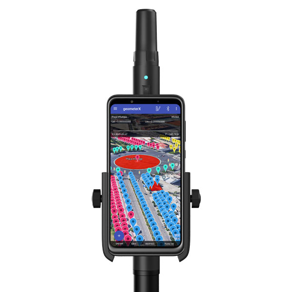
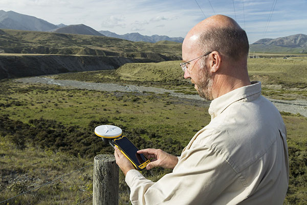
September 21, 2022 New Trimble TerraFlex Premium Edition simplifies GIS data capture By Tracy Cozzens