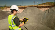
November 13, 2025 Seeing the unseen: How AI-powered geospatial tech is transforming utility safety By Sean Donegan
November 6, 2025 Trimble, California Surveying & Drafting Supply partner with Fresno State to address surveyor shortage By Jesse Khalil
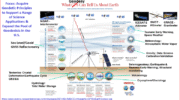
October 23, 2025 A new generation in real-time situational awareness By Mark Myslinski and John Contestabile
October 16, 2025 Emlid launches GNSS receiver line to simplify precision positioning By Tracy Cozzens