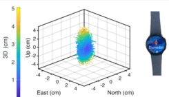
Researchers demonstrate centimeter-level positioning using smartwatches
October 17, 2025
University of Otago – Ōtākou Whakaihu Waka researchers have developed algorithms that improve the precision of location tracking […]
Read More
University of Otago – Ōtākou Whakaihu Waka researchers have developed algorithms that improve the precision of location tracking […]
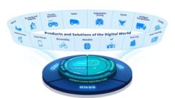
BDStar Navigation Co. Ltd., a provider of positioning technology solutions, has announced its chip-coud integration strategy and introduced […]

According to global technology intelligence firm ABI Research, global GNSS chipset shipments are projected to grow to 2.4 billion by 2029.
Eos Positioning Systems has announced end-of-life planning for four models in its original Arrow Series GNSS receivers, with discontinuation set for early 2026.
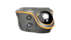
CHC Navigation (CHCNAV) has released the ViLi i100, its flagship visual-lidar GNSS RTK receiver designed for high-precision surveying in challenging environments.
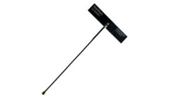
Taoglas has expanded of its Comet Series with the MA58x family of compact, discrete, screw- or through-hole mount puck antennas.
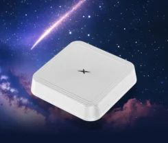
Leankon, a global leader in innovative IoT antenna solutions, has introduced the LK1850301 Dipole FPC (Flexible PCB) GNSS antenna.


Follow Us