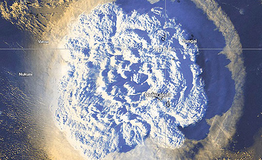
GNSS shows how volcanic eruptions cause ionospheric disruptions
February 14, 2022
On Jan. 15, Hunga-Tonga-Hunga-Ha’apai, an uninhabited volcanic island on the Tongan archipelago in the South Pacific Ocean, erupted […]
Read More

On Jan. 15, Hunga-Tonga-Hunga-Ha’apai, an uninhabited volcanic island on the Tongan archipelago in the South Pacific Ocean, erupted […]
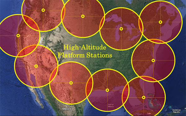
“We’re at 103,000 feet. As you look up the sky looks beautiful but hostile. …Can see for over […]
New radiation-tested, tactical-grade MEMS inertial accelerometers designed for spacecraft electronics testing Silicon Designs Inc. has launched the Model […]
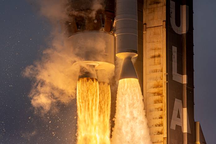
Space Systems Command, together with United Launch Alliance and other mission partners, successfully placed the fifth and sixth […]
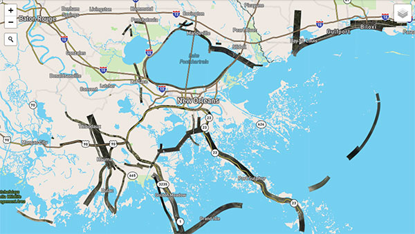
Applanix, a Trimble Company, and the National Oceanic and Atmospheric Administration (NOAA) have collaborated to provide critical information […]
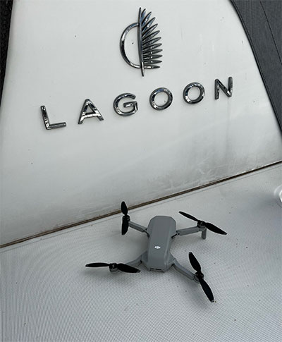
AnimaMundi Ocean Data Solutions, DJI and Lagoon are using drones to build a comprehensive database of plastic waste on […]
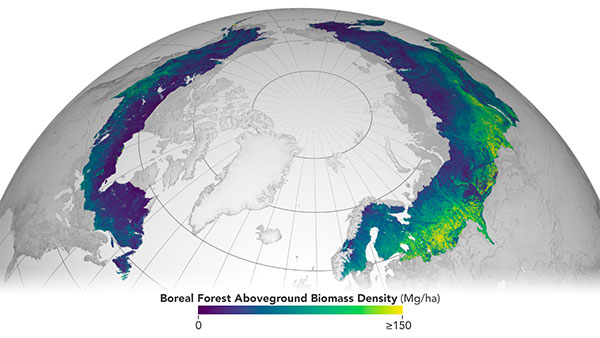
The European Space Agency (ESA) and National Aeronautics and Space Administration (NASA) have publicly released a globally harmonized […]
Follow Us