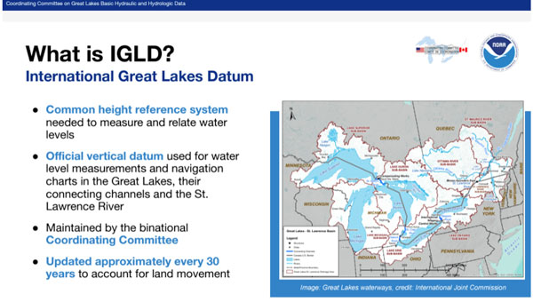
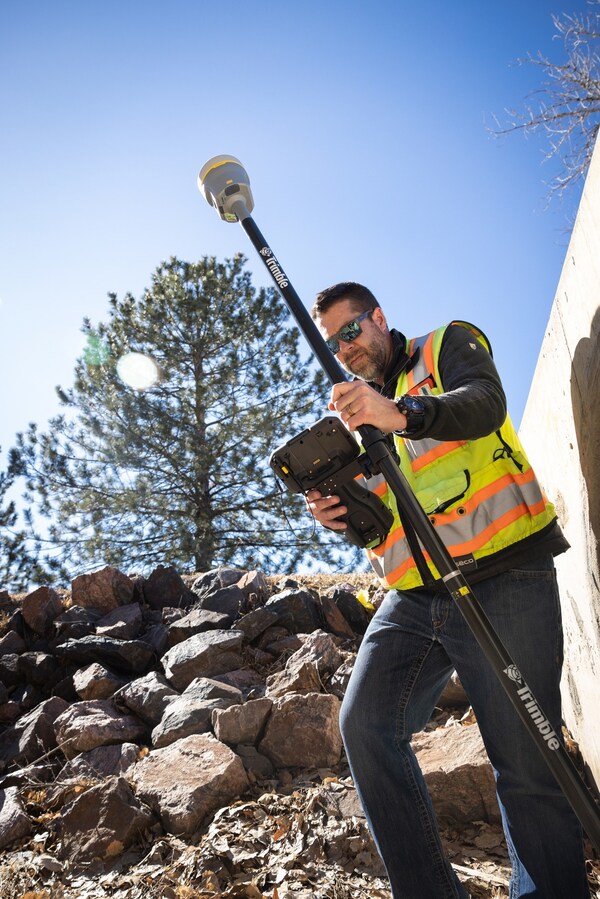
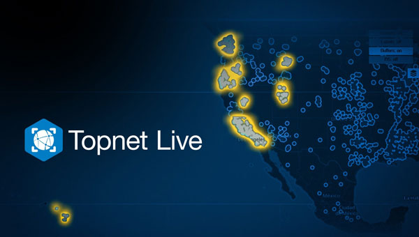
December 16, 2024 Launchpad: New surveying and mapping products, MEMS sensors and more By Jesse Khalil
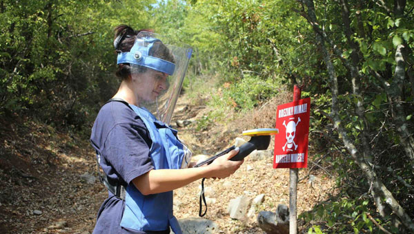
November 18, 2024 Trimble expands collaboration with The HALO Trust on landmine clearance efforts By Jesse Khalil
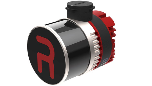
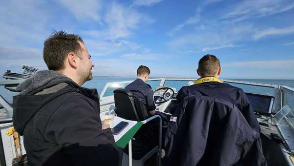
November 5, 2024 Royal Navy demonstrates quantum-sensing technology for alternative PNT By Jesse Khalil