April 3, 2024 Oregon State University to support new generation of geodesists, surveyors and geospatial professionals By David B. Zilkoski
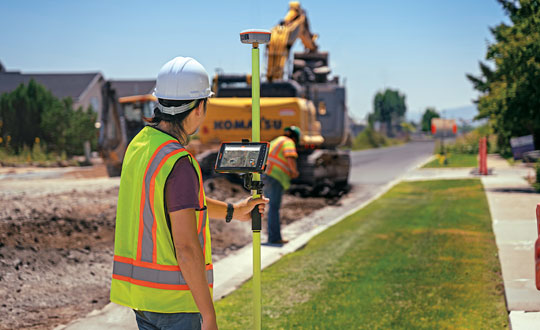
February 27, 2024 Aligning the trades: GNSS for architecture, engineering and construction By Matteo Luccio