January 3, 2024 Time is running out to submit GNSS or leveling data for initial NSRS modernization By David B. Zilkoski
December 6, 2023 ASPRS approves edition 2 of the ASPRS Positional Accuracy Standards for Digital Geospatial Data By David B. Zilkoski
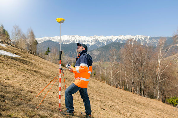
December 4, 2023 They used GPS even before it was fully built: The adoption of GPS by surveyors By David B. Zilkoski
December 4, 2023 Point One Navigation expands location solutions to cover Great Britain By Jesse Khalil