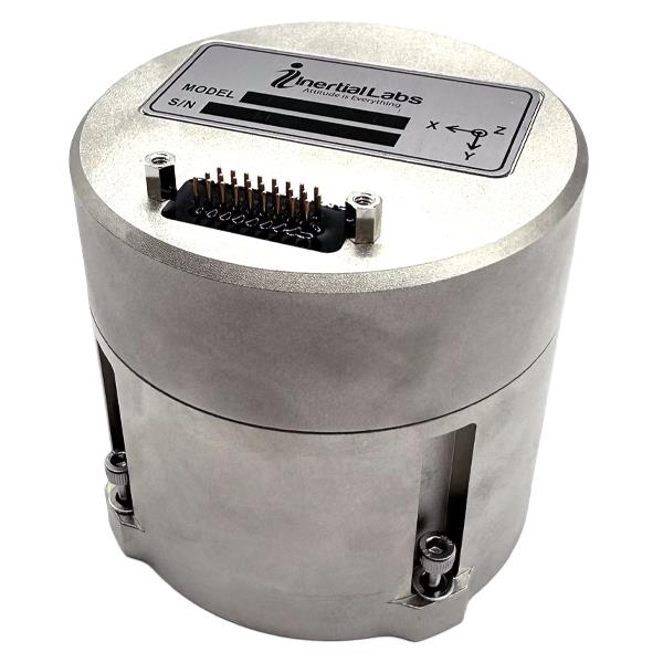
Inertial Labs releases multi-application IMU
March 13, 2023
Inertial Labs has released its IMU-FI-200C, a compact, self-contained strapdown, advanced tactical-grade inertial measurement unit (IMU) device.
Read More

Inertial Labs has released its IMU-FI-200C, a compact, self-contained strapdown, advanced tactical-grade inertial measurement unit (IMU) device.

An all-of-the-above approach lead to the novel design of a rover system
that can serve a wide variety of field surveying and mapping applications.
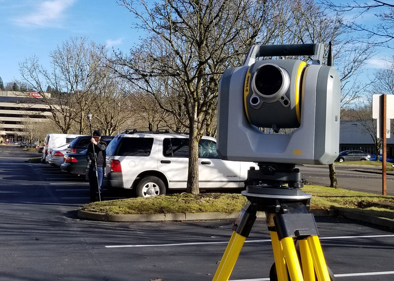
The addition of scanning capabilities to robotic total stations enables surveyors to operate two instruments simultaneously, with the same field data collector and software.
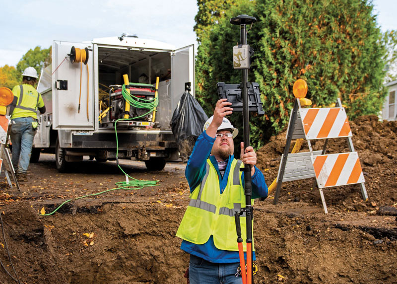
Minnesota-based Ellingson Companies provides solutions for complex water, distribution, utility and infrastructure management projects.
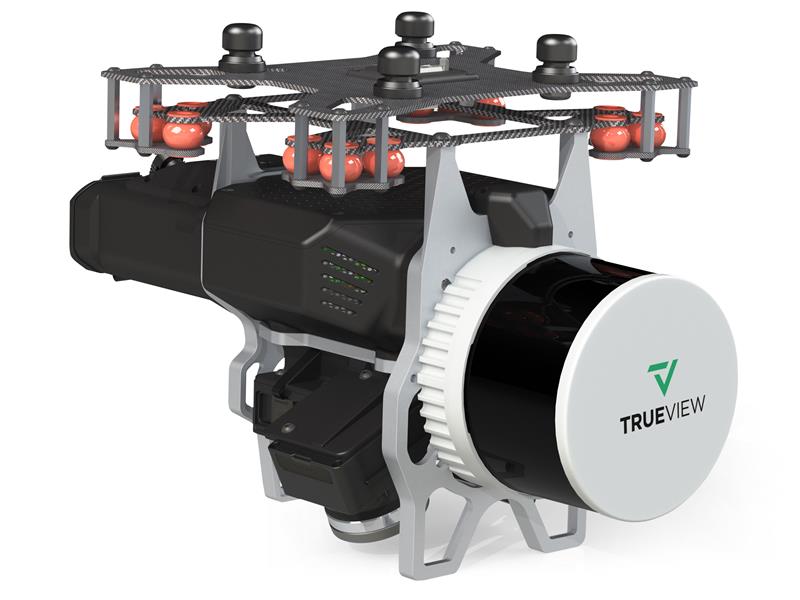
GeoCue has released the TrueView 535 imaging system for UAVs, TrueView 720, its fourth-generation Riegl integration and its LP360 software add-on.

Trimble has released the 4D Control (T4D) version 6.4 software, which is an add-on monitoring module for automated rail monitoring.
Follow Us