January 7, 2026 A New Year’s resolution for National Spatial Reference System users By David B. Zilkoski
December 2, 2025 AAGS YouTube seminars on geodetic topics in support of a certificate in geodetic surveying By David B. Zilkoski
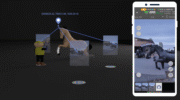
November 24, 2025 New data collection and mobile mapping software used in surveying and mapping projects By Jesse Khalil