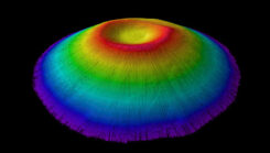
First all-Canadian Antarctic expedition creates underwater maps using GNSS technology
May 8, 2025
Canadian scientists recently led their first Antarctic research expedition, using Arrow Gold+ GNSS technology.
Read More

Canadian scientists recently led their first Antarctic research expedition, using Arrow Gold+ GNSS technology.

News on the Certificate for Geodetic Surveying program was shared at the quarterly meeting of the American Association for Geodetic Surveying (AAGS), the National Geodetic Survey (NGS) and the National Society of Professional Surveyors (NSPS).
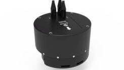
Hydro-Tech ha unveiled the MS400C, a fully integrated multibeam echosounder designed for uncrewed surface vessels.
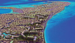
For the past 20 years, NV5 has completed more than 220 contracts across 30 states, covering more than 50,000 square miles.
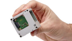
SBG Systems has unveiled its MEMS-based North-seeking inertial measurement unit (IMU) that operates independently of GNSS.
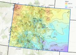
NGS will be releasing a Beta version of the new terrestrial reference frames and geopotential datum. This newsletter highlights the NAPGD2022 alpha site.

Unicore has introduced the UM981 series, a high-precision positioning module that integrates RTK and INS technologies.
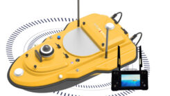
ComNav Technology has released the SV600 unmanned surface vessel (USV) for hydrographic surveying.
Follow Us