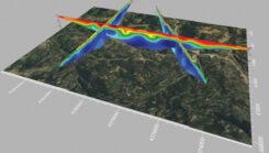
Launchpad: UAVs, digital twin platforms and positioning modules
May 29, 2024
A roundup of recent products in the GNSS and inertial positioning industry from the May 2024 issue of GPS World magazine.
Read More

A roundup of recent products in the GNSS and inertial positioning industry from the May 2024 issue of GPS World magazine.

Emlid has launched the Pix4D & Emlid Scanning kit, which combines advanced photogrammetry RTK precision for quick data capture when documenting trenches and as-builts, performing volumetric measurements and enhancing aerial data with terrestrial scans
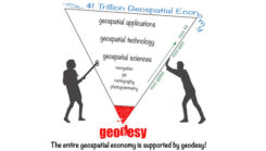
Michigan State University (MSU) has been awarded an NOAA FY 23 Geospatial Modeling Competition Award. MSU will create geodesy curriculums to help address the geodesy crisis and more.
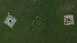
Virtual Surveyor has enhanced its smart UAV surveying software with new planimetric survey capabilities.

Comnav Technology has released the latest version of its Survey Master software — Survey Master 3.5.0.
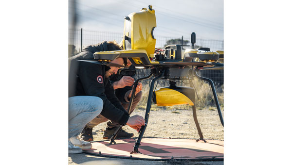
An exclusive interview with Brandon Malatest, co-founder and COO of Per Vices What is your title and role? […]
Follow Us