
CHCNAV: An autonomous boat surveys a bridge
April 15, 2024
Bridges are essential components of our transportation infrastructure, facilitating seamless travel and connecting communities. The construction and maintenance […]
Read More
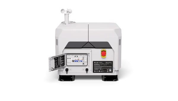
DJI has launched the DJI Dock 2. This lightweight drone-in-a-box solution features the Matrice 3D/3TD UAV and is compatible with DJI FlightHub 2, where automated aerial missions can be managed and monitored through cloud-based operations.

NGS Geospatial Modeling awardee, Oregon State University, created geodesy curriculums designed to help address the geodesy crisis.

SparkFun has released the 2J7426MPz by 2J antenna, a high-performance magnetic mount antenna designed to communicate with the Iridium satellite communication system.

Kongsberg Discovery has released the Seapath 385 navigation system. It is designed to enhance precision in hydrographic surveying by using advanced navigation algorithms and integrating a range of satellite signals.
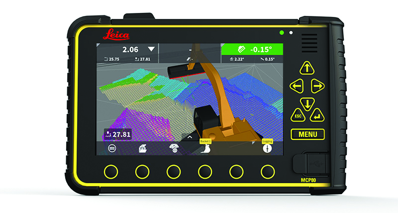
A roundup of recent products in the GNSS and inertial positioning industry from the March 2024 issue of GPS World magazine.

Leica Geosystems, part of Hexagon, has introduced the Leica TerrainMapper-3 airborne lidar sensor. It features new scan pattern reconfigurability to support a variety of applications and requirements in a single system.

The NOAA has awarded Scripps Institution of Oceanography (SIO) and The Ohio State University (OSU) grants to develop models to address what NGS denotes as the Intra-Frame Deformation Model (IFDM).
Follow Us