GLONASS CDMA signals now on L1, L2
April 29, 2024
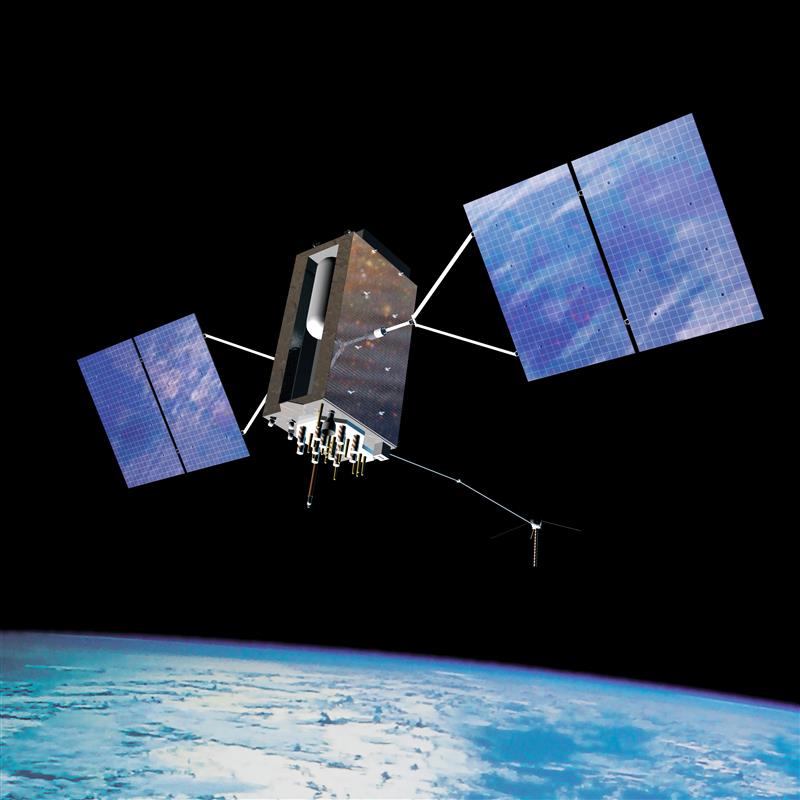
GLONASS satellites traditionally use L1 and L2 frequency division multiple access (FDMA) signals. FDMA is characterized by a […]
Read More
GLONASS satellites traditionally use L1 and L2 frequency division multiple access (FDMA) signals. FDMA is characterized by a […]
The Icelandic Road and Coastal Administration (IRCA) has commissioned the Dutch UAV manufacturer Acecore to map the extent and aftermath of the Eldvörp-Svartsengi volcanic system eruption using its high-end UAV solutions.
MerlinTPS has tested its Terrestrial Positioning System (TPS) at the Department of Defense (DOD) PNT Assessment Exercises (PNTAX), demonstrating resilience against electromagnetic radio frequency interference.
A recap of the U.S. DOD Replicator project and budget approval, the U.S. Navy’s decision to acquire long-endurance, surveillance UAVs and an update on one Loyal Wingman candidate flight trials.
Residents of Tel Aviv, Israel noticed that map applications on their phones such as Waze, Google Maps and the taxi pickup app Gett were placing them in Lebanon’s capital, Beirut, 130 miles to the north.
The European Geostationary Navigation Overlay Service (EGNOS), Europe’s regional satellite-based augmentation system (SBAS), has added Safety of Life Assisted Service (ESMAS) for maritime users.
NGS Geospatial Modeling awardee, Oregon State University, created geodesy curriculums designed to help address the geodesy crisis.
Follow Us