SSTL’s HydroGNSS satellite gets green light for climate mission
March 30, 2021
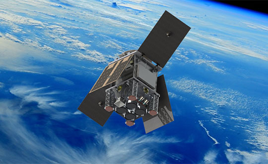
The small satellite will measure climate variables using GNSS Reflectometry The European Space Agency (ESA) has selected HydroGNSS […]
Read More
The small satellite will measure climate variables using GNSS Reflectometry The European Space Agency (ESA) has selected HydroGNSS […]

The United States Space Force’s Space and Missile Systems Center (SMC) has established a three-year multinational Project Arrangement […]

Space communications and navigation engineers at NASA are evaluating the navigation needs for the Artemis program, including identifying […]
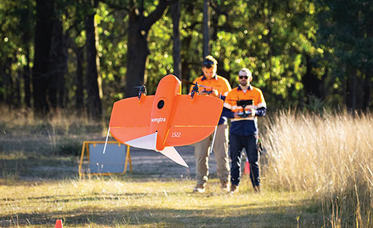
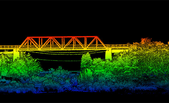
The worlds of UAVs, lidar and surveying overlap, with UAV-based lidar able to shed light on places that […]

In a first for Galileo, a satellite performed a collision-avoidance maneuver to avoid space debris. Under the management […]
Oxford Technical Solutions has released the xNAV650, the latest in its line of inertial navigation systems (INS), suitable […]
Advanced Navigation, in partnership with quantum technology company Q+CTRL, will create a quantum-enhanced inertial navigation solution for space […]

Why permissions and regulations are an important part of workflows By Pierre-Alain Marchand Regulatory Compliance Manager, senseFly Now […]


Follow Us