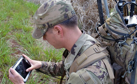
GEODE begins work on military user equipment for Galileo
February 9, 2021
A crucial step toward the development of the Galileo Public Regulated Service (PRS) military user segment took place […]
Read More
A crucial step toward the development of the Galileo Public Regulated Service (PRS) military user segment took place […]

Bluesky International will use aircraft-mounted lidar sensors and laser scanners to create a highly detailed 3D map of […]

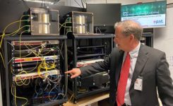
Antenna development, going all the way back to the first antennas, has been one of continuous innovation,” Richard […]
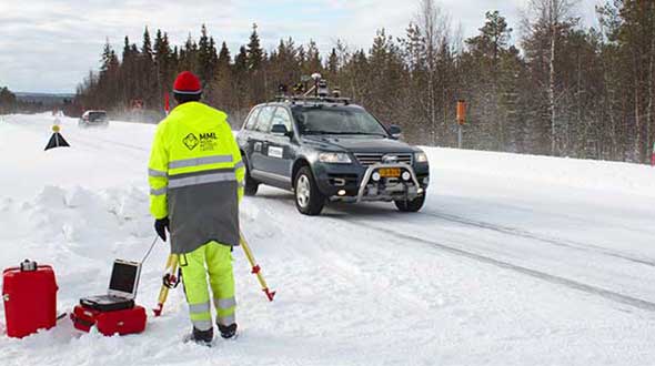
News from the European Space Agency (ESA) An ESA-supported project is testing autonomous vehicles on an intelligent road […]

After years of testing and hype, not a lot of companies can say there are real applications for […]
In a report issued on Jan. 14, the Department of Transportation (DOT) outlined the results of its GPS […]
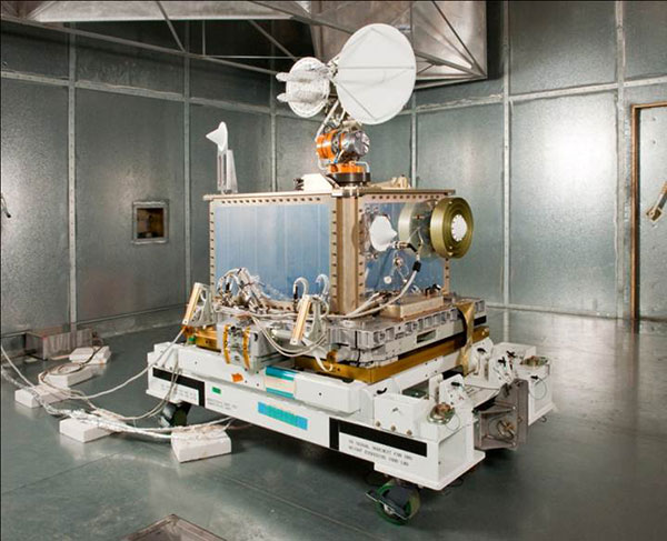
NASA’s Space Communications and Navigation (SCaN) program is developing capabilities that will allow missions at high altitudes to […]

This is part one of a two-part series. As in January 2020, we are starting the year by […]


Follow Us