
Hexagon’s ‘RTK from the Sky’ brings instant GNSS accuracy worldwide
November 19, 2020
New service provides PPP convergence for centimeter-level accuracy on land, air and marine applications around the world Research […]
Read More
New service provides PPP convergence for centimeter-level accuracy on land, air and marine applications around the world Research […]
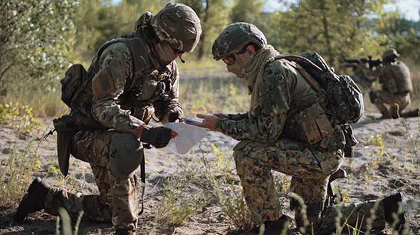
The United States Space Force’s Space and Missile Systems Center awarded the Military Global Positioning System User Equipment […]
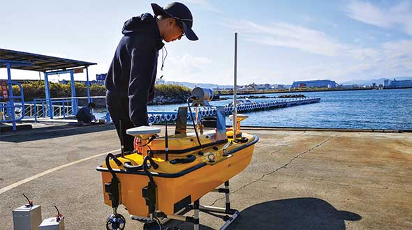
Sometimes hands-on data collection just isn’t good enough. In the busy Shizuoka harbor, Weichao Liu of CHC Navigation […]
![Image: NAPSG [https://www.napsgfoundation.org/]](https://stage.gpsworld.com/wp-content/uploads/2020/11/NAPSG-webpage-2.jpg)
Tenacity of spirit is one of the great virtues. Supporters of geospatial technology have often had to endure […]
“In some specific cases, e.g., for critical infrastructures and applications requiring both continuous availability and fail-safe operations, GNSS […]
As the skipper of Galileo 4, a 50-foot sailboat on the Columbia River, I instruct my crew to […]

The Caribbean Division of The Nature Conservancy (TNC) has focused on monitoring, protecting and restoring the region’s marine […]
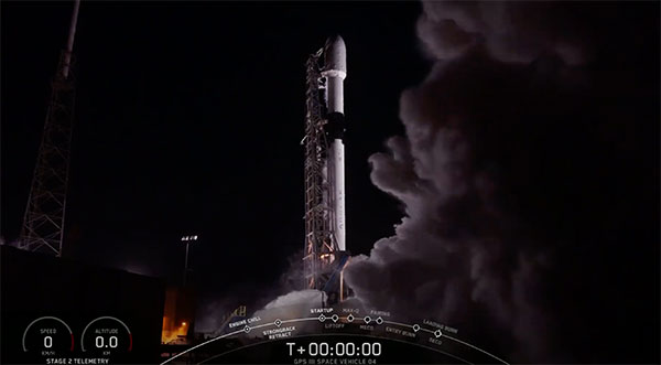
UPDATE: The U.S. Space Force, Space and Missile Systems Center (SMC) and its mission partners successfully launched the […]


Follow Us