Skip to content
Photo: stock_colors / E+ / Getty Images

AAGS launches geodetic surveying certificate: Key updates from joint NGS/NSPS/AAGS meeting

May 7, 2025

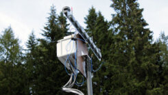
GANDALF-4 prototype (Photo: NATO)

NATO tests prototype sensor against GNSS signal threats

April 30, 2025

This article is tagged with and posted in Defense, Featured Stories, Featured Stories, Latest News
ESA’s Biomass satellite will deliver new information on forest height and forest biomass from space. (Photo: ESA/ATG Medialab)

Beyond Gravity supplies high-power antenna for ESA mission

April 29, 2025

This article is tagged with and posted in Featured Stories, Featured Stories, GNSS, Latest News, Space & Earth
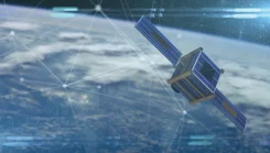
Satellite

Is there a silver bullet for resilient PNT?

April 25, 2025

This article is tagged with , , and posted in Featured Stories, From the Magazine, Opinions
Photo: OxTS

Launchpad: Latest in OEMs, mapping, UAVs and more

April 21, 2025

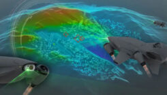
Razor VTOL drone with vectoring jet-powered thrust. (Photo: Mayman)

A look at new FAA-compliant UAV detection software and thrust-vectoring drones

April 18, 2025

Lidar point cloud and lidar-derived bathymetric surface topobathy in Key Biscayne, Florida. (Photo: NV5)

NV5 celebrates 2 decades of geospatial data collection for NOAA

April 15, 2025

This article is tagged with , , , and posted in Featured Stories, From the Magazine, Mapping, Survey
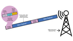
BPS basics. A TV tower broadcasts the tower’s location and each communication frame’s emission time within the frame. (Graphic: National Association of Broadcasters)

Television broadcasters propose new PNT service

April 11, 2025