
Multi-platform lidar enables digital twin cities
July 24, 2020
Digital twin technology emerged a decade ago to provide 3D virtual replicas of physical assets. Today, with Big […]
Read More
Digital twin technology emerged a decade ago to provide 3D virtual replicas of physical assets. Today, with Big […]

Thirty years ago, more than a decade before most people had even heard of GPS, receiver manufacturers and […]
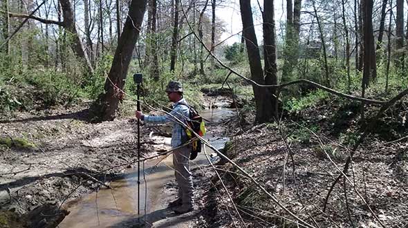
The creed “Neither snow nor rain nor heat” may apply to postal workers, but it also could apply […]
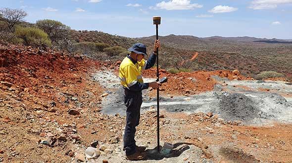
When someone imagines the Australian outback, they’re picturing Australia’s largest state, Western Australia (WA), which occupies an entire […]

The Government of Nepal has completed fieldwork for measuring Everest’s height using GNSS equipment from Trimble, including the […]
South Korean is in the early stages of evaluating its eLoran system, but great results are expected based […]

The U.S. Department of Homeland Security “did exactly what was required by Congress” in issuing its report in […]
There are many ways to navigate. For most applications, none surpass the accuracy, affordability and convenience of satellite […]


Follow Us