DJI launches 3D model editing software
January 24, 2024
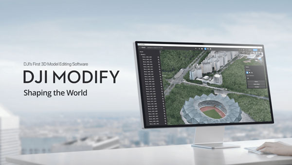
DJI has launched DJI Modify, its first intelligent 3D model editing software. It can be integrated with DJI’s enterprise UAVs and 3D modeling and mapping software, DJI Terra.
Read More

DJI has launched DJI Modify, its first intelligent 3D model editing software. It can be integrated with DJI’s enterprise UAVs and 3D modeling and mapping software, DJI Terra.

u-blox has partnered with Nordian Positioning Solutions to expand coverage of the PointPerfect GNSS correction service to Brazil.

Point One Navigation has been selected by the Indy Autonomous Challenge to provide real-time kinematic (RTK) corrections technology to all autonomous racing cars at the Consumer Electronics Show (CES) in Las Vegas.

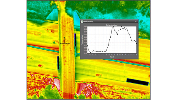
NV5 Geospatial’s thermal infrared (TIR) solutions for transportation infrastructure challenges are now being used in transportation projects to analyze concrete bridges in the Midwest.

Deep Sand Technology (DST) and the GEODNET Foundation have partnered to bring precision agriculture real-time kinematic (RTK) services to rural North America.

Qualcomm Technologies will now support India’s Navigation and Indian Constellation (NavIC) recently launched L1 signals in select chipset platforms.

savvy navvy has partnered with ProtectedSeas to bring ProtectedSeas Navigator data to boaters through the savvy navvy app.

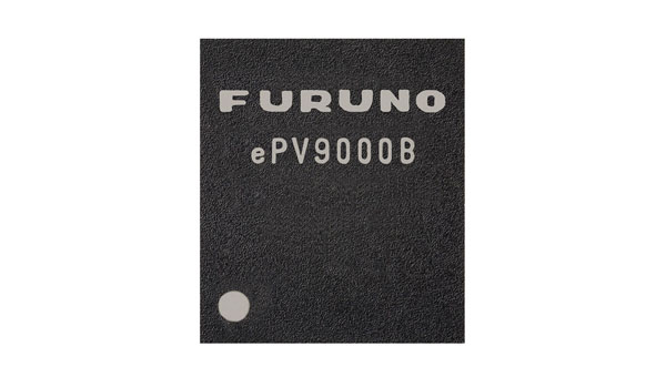
Furuno Electric Co. has released its dual-band GNSS receiver chip, eRideOPUS 9, which can achieve 50cm position accuracy without correction data.
Follow Us