July 1, 2025 NovAtel Application Suite: Get the most out of your receivers By GPS World Sponsored Content
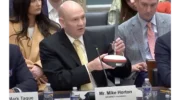
May 1, 2025 United States Congress wakes up to DePIN – GEODNET testimony By GPS World Sponsored Content
March 4, 2025 Ensuring Accuracy: How CAST Navigation Minimizes GNSS/INS Simulation Errors By GPS World Sponsored Content