No audio available for this content.
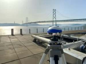
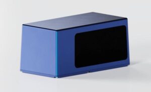
ComNav Technology has revealed the LS600, a handheld 3D laser scanner that integrates SLAM technology, a built-in RTK module and dual 16MP wide-angle cameras. The device employs multi-sensor fusion, including lidar, IMU and cameras, to deliver high performance in both indoor and outdoor environments. It offers 16- or 32-line lidar options, with a scanning range of up to 300 m and a speed of 640,000 points per second for rapid data collection.
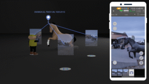
The LS600 features an advanced GNSS module that provides centimeter-level accuracy with full-frequency GNSS support. A built-in surveying antenna enhances signal reliability. The dual-lens camera, combined with visual SLAM (V-SLAM), produces detailed color point clouds for realistic and precise visuals. The scanner supports both backpack and pole configurations, making it versatile for applications such as land surveying, engineering, urban renewal, mining, agriculture, forestry and emergency response.
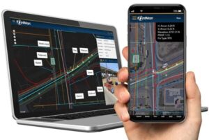
Its automated post-processing capabilities — such as stitching, denoising, and rendering — along with flexible coordinate systems streamline workflows and ensure accurate results. This design allows professionals to achieve precision and efficiency in the field.
