No audio available for this content.
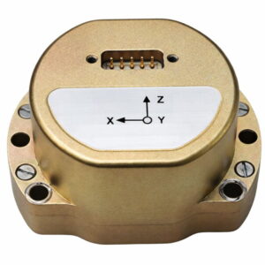
At INTERGEO 2024, ComNav Technology previewed its Jupiter Laser RTK, designed for surveying applications. The Jupiter Laser RTK integrates GNSS, auto-IMU (inertial measurement unit), laser and dual-camera systems into a single unit. The system is set to be released in 2025.
The system builds upon the laser technology featured in ComNav’s Universe series, incorporating a precise green laser that remains visible even in bright daylight conditions. This feature enables precise measurements of points in hard-to-reach, signal-blocked or potentially hazardous locations,, thereby pushing the boundaries of surveying accuracy and efficiency.
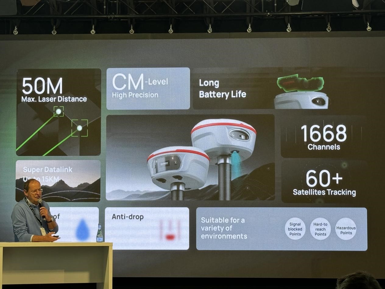
The RTK system’s laser range is up to 50 m, substantially extending the measurement capabilities while maintaining high accuracy, making it suitable for challenging surveying environments.
The Jupiter RTK system incorporates visual technology to offer surveyors an immersive experience during surveying and stakeout operations, improving working efficiency and productivity. Furthermore, Jupiter’s night vision camera allows users to clearly see feature points even in low-light conditions compared with competitive products. In very dark conditions, the feature points are unfeasible to recognize via camera, then the laser further makes up for this shortcoming. With Survey Master software’s intuitive guidance, even novice operators can stake out points seamlessly without the need for repositioning—provided the stakeout point is accurately marked on the ground.
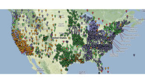
During an on-site demonstration at INTERGEO 2024, participants experienced firsthand the convenience offered by Jupiter integrating laser and visual technologies. ComNav’s integration of laser technology into traditional GNSS receivers has been fully applied and validated in their Universe Series Laser RTK. This series includes:
Mars Pro Laser RTK: This device features a sunlight-readable OLED color display for easy operation. It tracks 1668 channels for all running and existing constellations and is compatible with mainstream brands of GNSS receivers.
Mars Laser RTK: With 1590 channels full-constellation multi-frequency tracking capability, Mars ensures precision and minimizes user fatigue, crafting an impressive surveying experience. The built-in transceiver datalink module has a super long working distance of up to 15 km.
Venus Laser RTK: This model offers a lightweight handheld design and rodless operation capability, simplifying surveying and stakeout processes while providing exceptional stability and accuracy. It is engineered to enhance user safety in challenging environments.