
Esri Publishes Interactive Track Map of Typhoon Haiyan
-

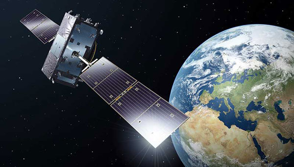
While the European Parliament agrees that European space policy should not support the weaponization of space, it nevertheless recognizes the need for Galileo to serve the European Union's defense and security - a change from its earlier stance on the issue.
Esri published an interactive track map of Typhoon Haiyan, likely one of the strongest storms in recorded history.
According to Esri, users can see the real-time effects of the storm via social media posts. To change the search terms, go to the Social menu, click the settings icon, and update the keyword.

Chart: Esri, http://www.esri.com/services/disaster-response/hurricanes/latest-news-map


Subscribe to GPS World
If you enjoyed this article, subscribe to GPS World to receive more articles just like it.


2 Comments on "Esri Publishes Interactive Track Map of Typhoon Haiyan"
Trackback | Comments RSS Feed
Inbound Links