Listen to this content
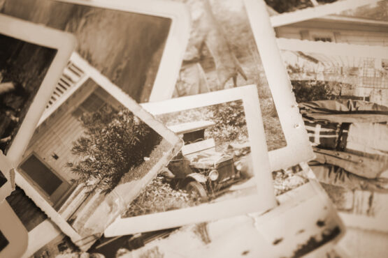
Michigan Technological University library and department of social sciences are examining 11,000 historical images of Michigan’s Upper Peninsula (Copper Country), to find precisely where a photographer stood to take the photo.
The location will provide richer information about a place’s surroundings, especially in circumstances where structures or environmental landmarks are no longer present.
The project also will transform how people search for historical images, according to Bob Cowling, the school’s geographic information system (GIS) data librarian. Searching by keyword terms relies on accurate metadata. If there isn’t good data governance from the organization managing the images, then the metadata could be missing important fields.
Donated historical images often arrive without any dates or location information attached to them., but now will be easier to find on a map, making it possible to visualize what was there in the past compared to today.