No audio available for this content.
Researchers from NASA’s Frontier Development Lab (FDL) and Intel are proposing a way to navigate on a new planet using artificial intelligence (AI).
The researchers presented their planetary navigation research during an Intel event on Aug. 16.
The immense challenge of building GPS-similar constellations around every planet or moon could be avoided by using imagery, according to researchers Andrew Chung, Philippe Ludivig, Ross Potter and Benjamin Wu.
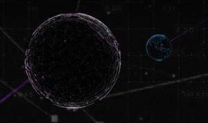
The team developed a system for simulating the Moon’s surface so that AI could be used for navigation on the surface.
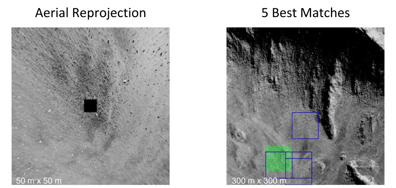
How It Works. The researchers created a highly detailed digital model of a virtual moon using 2.4 million images of its surface. The images represent ones that might be taken by a rover.
The AI learned what this moon looks like by being fed the millions of images, and then used its neural network to create a model of the virtual moon.
According to the team’s presentation, this was enough to effectively enable navigation on the virtual moon’s surface.
With the model in place, a person merely needs to take a photo of their surroundings on the surface. Based on the photo, the AI determines the person’s location and shows how to navigate to a destination. The AI would even understand the distortions of known features from the point of view of the camera.
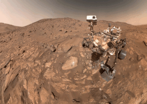
The team wants to try to do the same thing with a real celestial body: Mars. They think they have enough satellite images to make it work.
If they’re right, the first Martian visitors could navigate the Red Planet by photo.