Listen to this content
NV5, a division of Acuren Corporation, has become the first geospatial company to acquire and deploy Hexagon’s Leica CoastalMapper, an airborne bathymetric lidar system for coastal and riverine mapping.
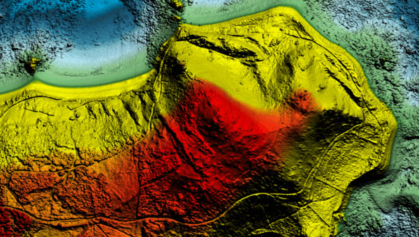
The CoastalMapper, developed by Leica Geosystems, combines a bathymetric lidar module with topographic lidar and an imaging sensor in a compact pod. The system collects bathymetric and topographic lidar data simultaneously with high-resolution imagery during a single flight. It captures up to 1 million bathymetric points per second and 2 million topographic points per second, producing imagery at a 5-centimeter ground sampling distance at standard flying altitudes.
The system can operate at higher altitudes than previous generation systems, enabling surveys of steep mountainous river terrain. Applications include infrastructure resilience, flood monitoring and environmental investigations in shallow and deep waters.
Kurt Allen, president of NV5’s Geospatial Business Unit, said the sensor system will allow the company to deliver more comprehensive datasets in coastal and riverine environments and support environmental resilience and infrastructure planning.
NV5 Geospatial will receive the Leica CoastalMapper from Hexagon by the end of the year, with a handoff that took place at Intergeo in Frankfurt, Germany, Oct. 7-9, 2025.


