Listen to this content
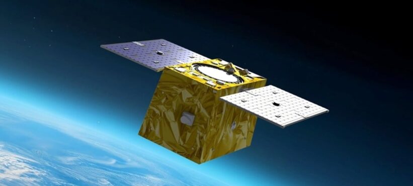
QinetiQ and Xona Space Systems have demonstrated how GPS navigation can be bolstered by using low Earth orbit (LEO) satellites, in the first UK tests of Xona’s new satellite navigation system, Pulsar.
This marks a major milestone in the development of next-generation positioning, navigation and timing (PNT) capabilities, increasing resilience against jamming and spoofing, as well as improving GPS availability in congested or challenged environments.
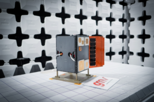
In the tests, QinetiQ’s Q40 multi-constellation GNSS receiver acquired and tracked signals from Xona’s first production-class satellite, Pulsar-0. The tests demonstrated that, by supplementing GNSS with LEO satellite signals like the Pulsar X1, enhanced resilience in contested or poor-signal environments can be achieved.

A recent software upgrade to QinetiQ’s Q40 was developed under the European Space Agencies’ Navigation Innovation and Support Program (NAVISP) in the GNSS Receiver with Advanced Pulsar Enhancement (GRAPE) project.
GRAPE is a collaboration between QinetiQ and Xona, supported by the UK Space Agency and European Space Agency. Its goal is to explore how new LEO-based signals can be integrated with existing GNSS, to enhance the accuracy and resilience of navigation services for defense, critical infrastructure and future autonomous applications.
“For the first time, we have demonstrated how signals from new LEO satellites can be used alongside existing GNSS to give users stronger, more resilient timing and position information,” said Chris Walker, Managing director, Mission Systems Division, QinetiQ. “This is a huge step in increasing the protection of our defence, critical infrastructure and future autonomous systems against interference.”