No audio available for this content.
“Seen & Heard” is a monthly feature of GPS World magazine, traveling the world to capture interesting and unusual news stories involving the GNSS/PNT industry.
Surveillance risk in Apple products

A recent study published by the University of Maryland revealed a major privacy vulnerability in Apple’s Wi-Fi Positioning System (WPS). Hackers can track Wi-Fi access points and their users globally. Apple’s WPS relies on the company’s vast network of iPhones, iPads and MacBooks to collect the geolocation of Wi-Fi access points based on their Basic Service Set Identifier (BSSID). When an Apple device uses GPS, it reports the coordinates of nearby Wi-Fi BSSIDs to Apple’s servers, allowing other Apple devices to estimate their location even without GPS. Hackers can access these points and access unsuspecting users’ locations.
UAVS for 911 calls

The New York City Police Department (NYPD) will soon improve its crime-fighting efforts with the Drone as First Responder (DFR) pilot program. The program will deploy UAVs in response to specific 911 calls for serious crimes in progress, such as shootings, robberies and missing persons. UAVs will launch from five precincts: the 48th Precinct in the Bronx, the 67th, 71st and 75th Precincts in Brooklyn and Central Park, New York. The UAVs will provide real-time video and telemetry to officers to enhance situational awareness and safety.
Geospatial data offered in Africa
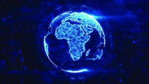
AfriGIS, a geospatial solutions company, offers verified and validated geospatial data on administrative boundaries linked to postal codes throughout Africa. Expanding the company’s geospatial datasets to cover the continent, AfriGIS has developed a collection of shapes defined by closed lines that represent geographical areas — called a polygon dataset — for 21,600 towns, including 475,000 suburbs, over the past three years.
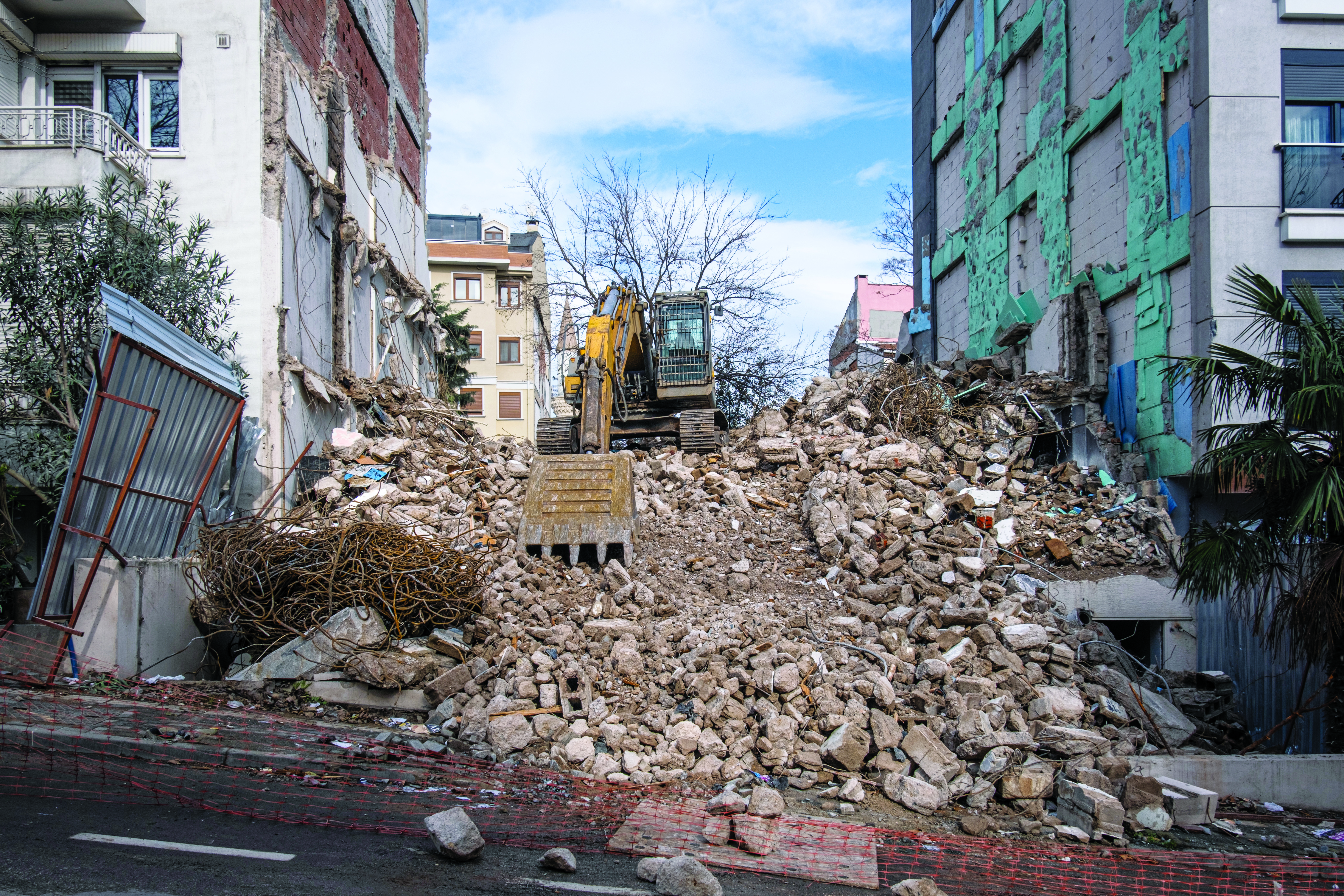
Landslide in Papua New Guinea
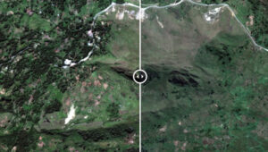
Maxar Technologies has released satellite images revealing the large scale of damage from the May 24 landslide in Papua New Guinea. The images show a significant portion of the mountainous Enga Province being torn away, with as many as 2,000 people believed to be buried under rubble. Satellite imagery from before and after the landslide illustrates the vast impact on the landscape.