
Surveyors: Who are they?
August 29, 2022
The average age of surveyors in the United States is nearly that of retirement. Can new technology attract a new generation to the profession?
Read More
The average age of surveyors in the United States is nearly that of retirement. Can new technology attract a new generation to the profession?
A roundup of recent products in the GNSS and inertial positioning industry from the August 2022 issue of GPS World magazine.
Aerial mapping provides a competitive advantage for AEC companies to win their fair share of the $17 billion infrastructure bill.
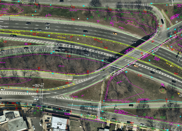
Aerial mapping provides a competitive advantage for AEC companies to win their fair share of the $17 billion infrastructure bill.

“The tasks of paleontologists and classical historians and archaeologists are remarkably similar — to excavate, decipher and bring […]

125+ speakers and 50+ sessions are confirmed for the 2022 edition of Geo Week in Denver Organizers of […]
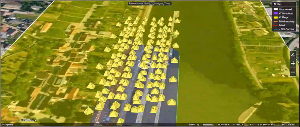
EagleView and Skyline Software Systems have partnered to enable customers to visualize their geospatial data in new ways.
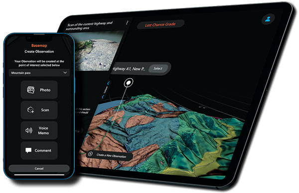
Skyward, a Verizon company, has announced its integration with Pix4D, a photogrammetry software suite for drone mapping. The partnership gives […]


Follow Us