Trimble joins with Exyn on autonomous surveying solution
November 7, 2022
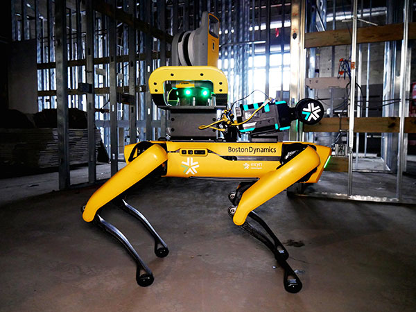
Trimble and Exyn Technologies are working on a proof of concept for a fully autonomous surveying solution for […]
Read More
Trimble and Exyn Technologies are working on a proof of concept for a fully autonomous surveying solution for […]
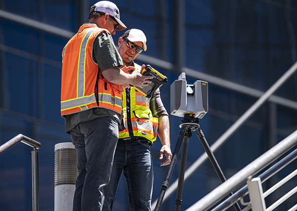
Trimble has introduced the Trimble X12 scanning system to the geospatial scanning portfolio. The X12 integrates intuitive Trimble […]
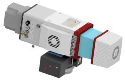
The Riegl miniVUX-2UAV is a lightweight airborne laser scanner designed specifically for integration with unmanned aerial vehicles and […]
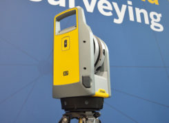
Trimble has released its X7 3D laser scanning system at Intergeo 2019, which took place Sept. 17-19 in […]

A security technology firm reduced the time needed for public-safety personnel to engage a simulated active shooter by […]

Detailed 3D maps of the iconic and historic Notre Dame Cathedral in Paris hold out hope for accurate […]

Topcon Positioning Group released a new workflow bundle designed to modernize concrete FFL (floor flatness and levelness) applications. […]
Aerial survey company Bluesky International Ltd. is using the Leica CityMapper to capture major cities throughout the United Kingdom.


Follow Us