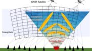
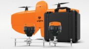
March 20, 2025 Launchpad: Surveying and mapping solutions, latest OEM innovations and more By Jesse Khalil
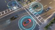
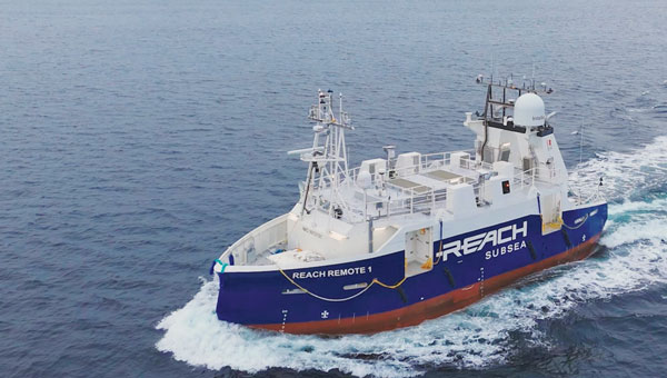
February 28, 2025 Seen & Heard: Autonomous sea vessel completes trial, car tracking leads to arrest and more By Jesse Khalil
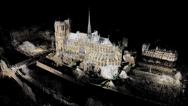
December 4, 2024 Notre Dame Cathedral reopens: 3D mapping guides historic restoration By Jesse Khalil
October 31, 2022 LidarSwiss deploys Cepton lidar, Applanix IMU/GNSS for high-fidelity mapping By Tracy Cozzens