CHC Navigation introduces AlphaAir 1400 and AlphaAir 2400 airborne lidar series
April 12, 2022
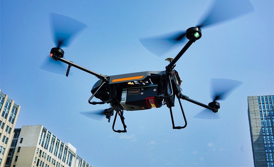
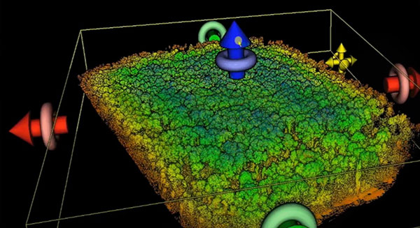
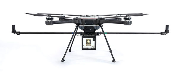
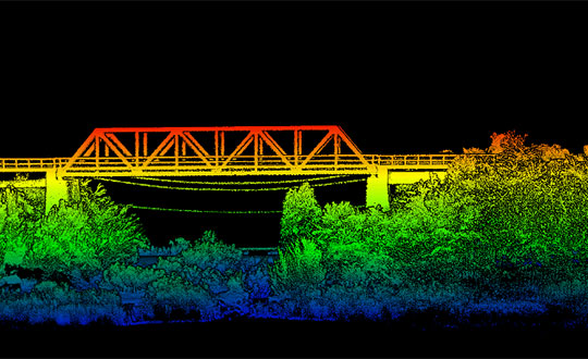
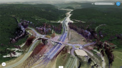
CHC Navigation (CHCNAV) has released the AlphaAir 1400 (AA1400) and AlphaAir 2400 (AA2400) lidar systems. Both lightweight, compact airborne laser scanners […]
Read More


Follow Us