Hexagon supports Skanska in building subsea road tunnel in Norway
August 11, 2025
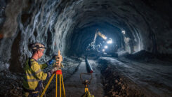
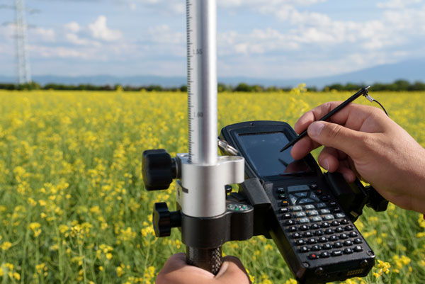
Hexagon’s surveying solutions are playing a key role in the construction of Project Rogfast, a 27-km subsea road tunnel in Norway.
Read More
Hexagon’s surveying solutions are playing a key role in the construction of Project Rogfast, a 27-km subsea road tunnel in Norway.
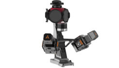
CHC Navigation has released the AU20 MMS, a vehicle-mounted mobile mapping system designed for accurate and efficient 3D spatial data collection.

Aerial mapping provides a competitive advantage for AEC companies to win their fair share of the $17 billion infrastructure bill.
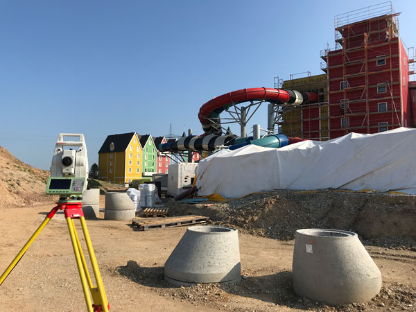
An integrated total solution is important for AEC surveyors who must decide not only which technology to use, but how to process data from different technologies together.
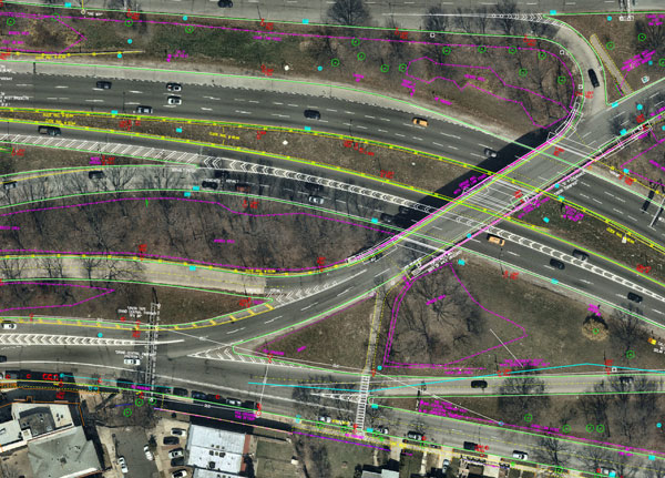
Aerial mapping provides a competitive advantage for AEC companies to win their fair share of the $17 billion infrastructure bill.
The tight integration of GNSS, inertial systems, lidar sensors and 360° spherical imagery into mobile mapping systems makes 3D modeling possible and traditional GNSS or optical measurement instruments obsolete.
A major geospatial conference encompassing previous annual conferences is scheduled for 2022. The AEC Next Technology Expo & […]


Follow Us