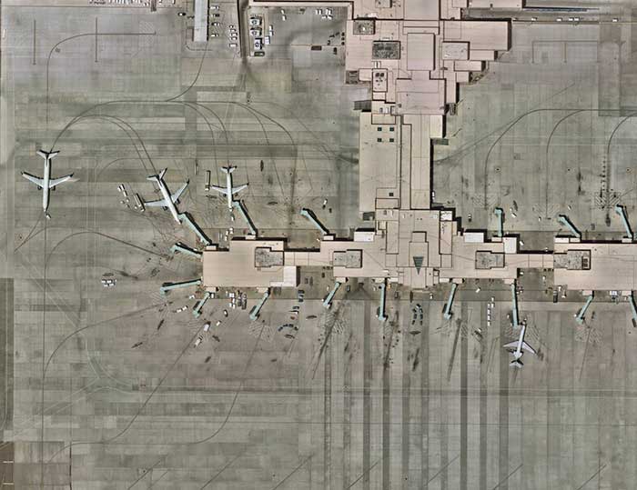
Nearmap expands, capturing aerial imagery of 80% of US population
September 14, 2021
Nearmap will capture aerial imagery of more than 80% of the U.S. population up to three times a […]
Read More
Nearmap will capture aerial imagery of more than 80% of the U.S. population up to three times a […]
Aerial imagery company Nearmap is partnering with Geographic Technologies Group (GTG), which helps local government agencies throughout the […]
SimActive Inc., a developer of photogrammetry software, has integrated its Correlator3D product into lidar systems for drones developed […]
An upcoming GPS World webinar shows how high-definition aerial imagery can help protect and maintain natural resources. In Transforming […]
The ability to capture and evaluate truth on the ground through aerial imagery is an ever-growing industry, thanks […]
Phase One Industrial has launched a 280-megapixel aerial photogrammetric system, with an image coverage width of more than […]
Aerial mapping company Bluesky International has been awarded a contract by Natural Resources Wales, on behalf of Welsh […]
Follow Us