Bluesky with CityMapper captures cities in 3D
January 9, 2019
Aerial survey company Bluesky International Ltd. is using the Leica CityMapper to capture major cities throughout the United Kingdom.
Read More
Aerial survey company Bluesky International Ltd. is using the Leica CityMapper to capture major cities throughout the United Kingdom.

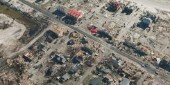
SimActive Inc., developer of photogrammetry software Correlator3D, has partnered with Midwest Aerial to perform damage assessments of Hurricane […]

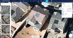
Nearmap has introduced a complete measurement toolset in MapBrowser for the solar, roofing and other rooftop industries. The […]
Location content provider Nearmap has partnered with the City of Durham, North Carolina, Public Works Department to upgrade […]
Aerial imagery specialist Spookfish has expanded its capture program into New South Wales (NSW), now covering the NSW coast […]

Hangar Technology Inc., a robotics-as-a-system technology company providing scalable 4D visual insights, has been selected to join the […]

Phase One Industrial has launched the iXM series, an aerial camera platform driven by its fast medium-format imaging […]
Guest column by Sanchit Agarwal Vice President, Field Operations, Nearmap With high-resolution imagery comes the ability to model […]
Follow Us