Drones detect moss beds and changes to Antarctica climate
July 28, 2025
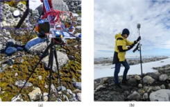
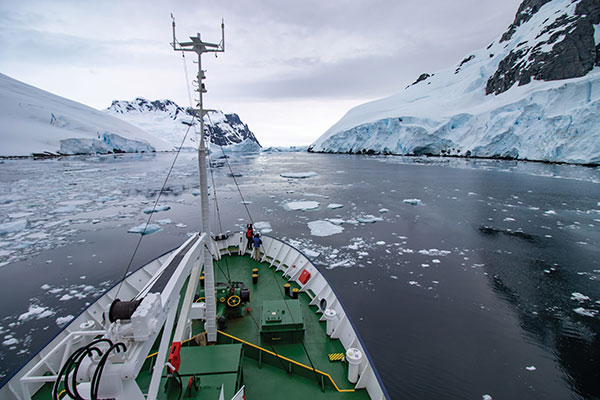
GNSS and unmanned aerial vehicles (UAVs) have revolutionized precise mapping in polar regions. For a team from Queensland […]
Read More
GNSS and unmanned aerial vehicles (UAVs) have revolutionized precise mapping in polar regions. For a team from Queensland […]
“Seen & Heard” is a monthly feature of GPS World magazine, traveling the world to capture interesting and […]
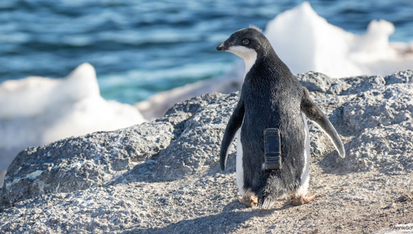
u-blox has partnered with Cellular Tracking Technologies (CTT), a specialist in wildlife telemetry and Internet of Things (IoT) solutions, in an initiative aimed at conserving Antarctic wildlife.
“Seen & Heard” is a monthly feature of GPS World magazine, traveling the world to capture interesting and unusual news stories involving the GNSS/PNT industry.
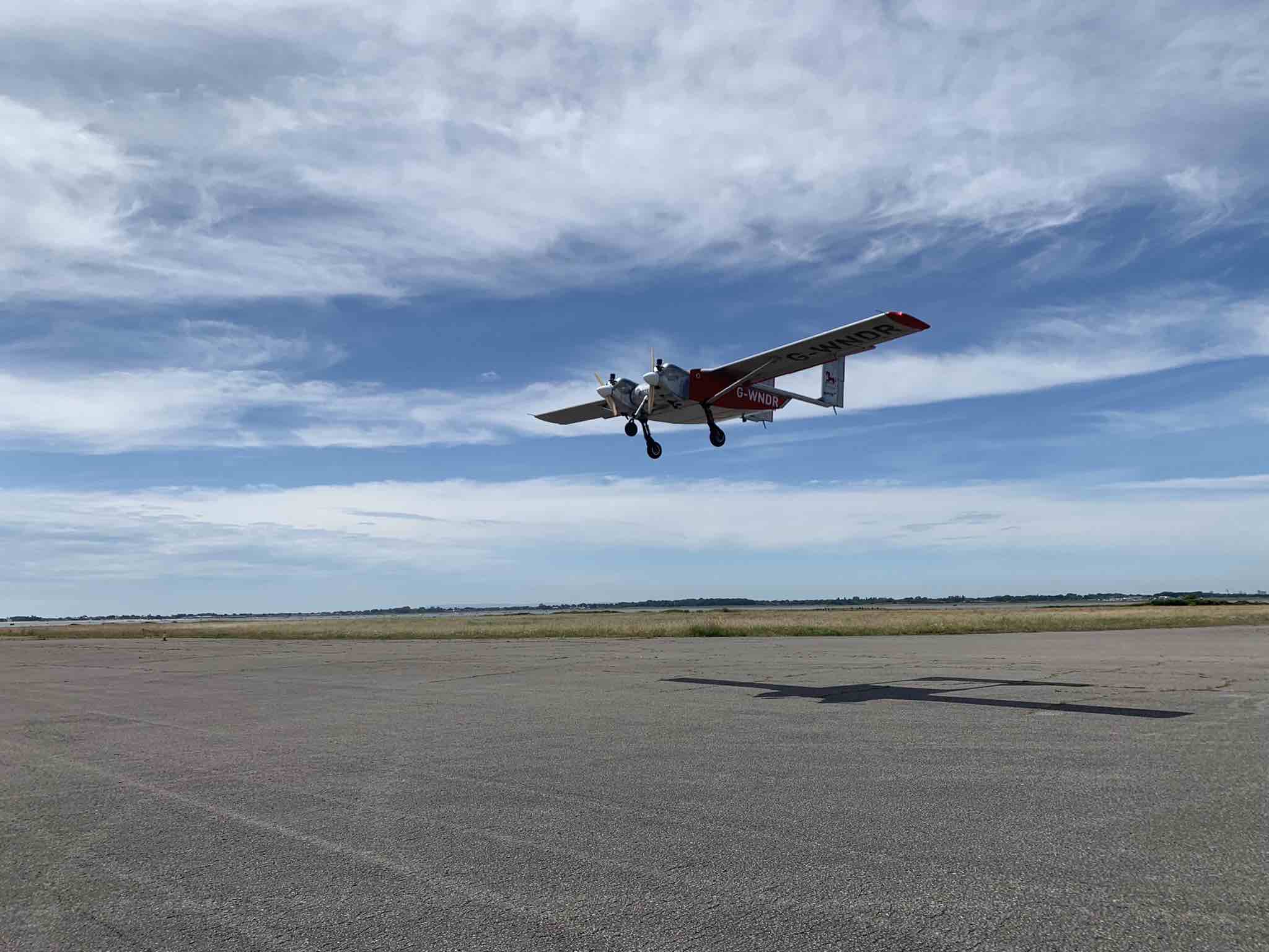
Helix Geospace will participate in the “Future flights challenge phase 3” project by Innovate UK involving drone swarms. […]
“Seen & Heard” is a monthly feature of GPS World magazine, traveling the world to capture interesting and unusual news […]
Turkey has opened GNSS base station in Antarctica, according to Sputnik News. The station can track changes in […]
News from the European Space Agency A kite-blown science expedition to the interior of Antarctica has made the […]


Follow Us