Skip to content

TAG: ArcGIS

An inspector takes a soil sample to understand the makeup and condition of the soil. (Image courtesy of TDEC)

Tennessee leverages GIS technology to streamline septic permits amid rapid population growth

September 16, 2025

This article is tagged with , , , , and posted in Latest News, Mapping
Photo: TomTom logo

TomTom and Esri deliver advanced location analytics

January 14, 2025

This article is tagged with , , and posted in Latest News, Mapping
Photo: onurdongel/iStock/Getty Images Plus/Getty images

Launchpad: handheld mapping, excavator guidance, cesium clock

September 13, 2022

Photo: Eos Positioning

New Eos Bridge makes instruments iOS compatible

June 28, 2021

Source: Richard Langley

Esri releases latest edition of ArcGIS Desktop handbook

March 17, 2021

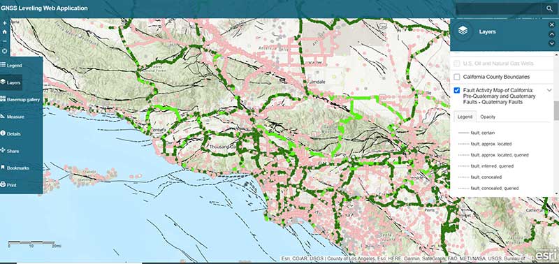
Source: Esri ArcGIS GNSS Leveling Web Application

ArcGIS web app incorporates datasets, NGS data layers for surveyors

December 2, 2020

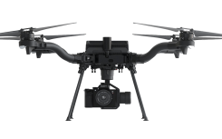
Freefly Astro drone. (Photo: Auterion)

Esri Site Scan, Auterion drone help meet regulations

November 2, 2020

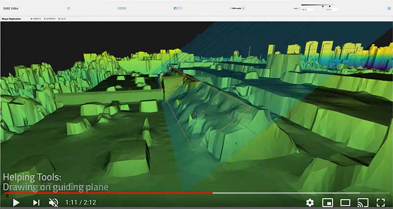
SURE software editor (Screenshot: nFrames)

Esri acquires nFrames for 3D capabilities

September 14, 2020

This article is tagged with , , , , , , , and posted in Latest News, Mapping