UTTO partners wih GEODNET for utility mapping
October 13, 2025
The partnership enables UTTO to leverage GEODNET’s global RTK correction services across its solutions.
Read More
The partnership enables UTTO to leverage GEODNET’s global RTK correction services across its solutions.
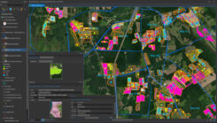
Every Monday and Wednesday, the team at Ernst Conservation Seeds gathers around maps to discuss which fields to harvest, which fields need treatments, and where to plant new crops.

A roundup of recent products in the GNSS and inertial positioning industry from the March 2022 issue of GPS World magazine.
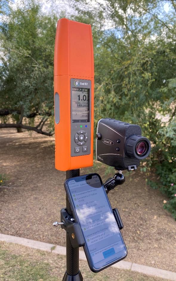
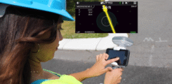
Support added for Esri ArcGIS Field Maps Bad Elf LLC now provides an integrated laser-offset workflow for acquiring […]
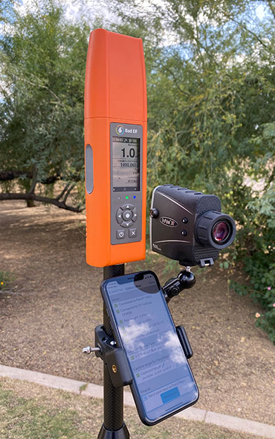
Bad Elf LLC and Laser Tech are providing an integrated laser offset workflow for acquiring high-accuracy field data […]
A roundup of recent products in the GNSS and inertial positioning industry from the August 2020 issue of […]

Eos will announce compatibility of its Arrow GNSS receivers with the inaugural ArcGIS Field Maps beta release, the […]
A new Esri mobile app, ArcGIS Field Maps, will be released in its first beta in July, with […]


Follow Us