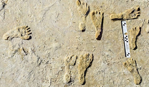
GIS helps archaeologists trace a mother’s journey
November 24, 2021
“The tasks of paleontologists and classical historians and archaeologists are remarkably similar — to excavate, decipher and bring […]
Read More
“The tasks of paleontologists and classical historians and archaeologists are remarkably similar — to excavate, decipher and bring […]
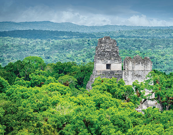
GPS and airborne light detection and ranging (lidar) have revolutionized archaeology. In just a little more than a […]
Following its March 29 acquisition of Geodynamics LLC, NV5 Geospatial has built a comprehensive suite of solutions for […]
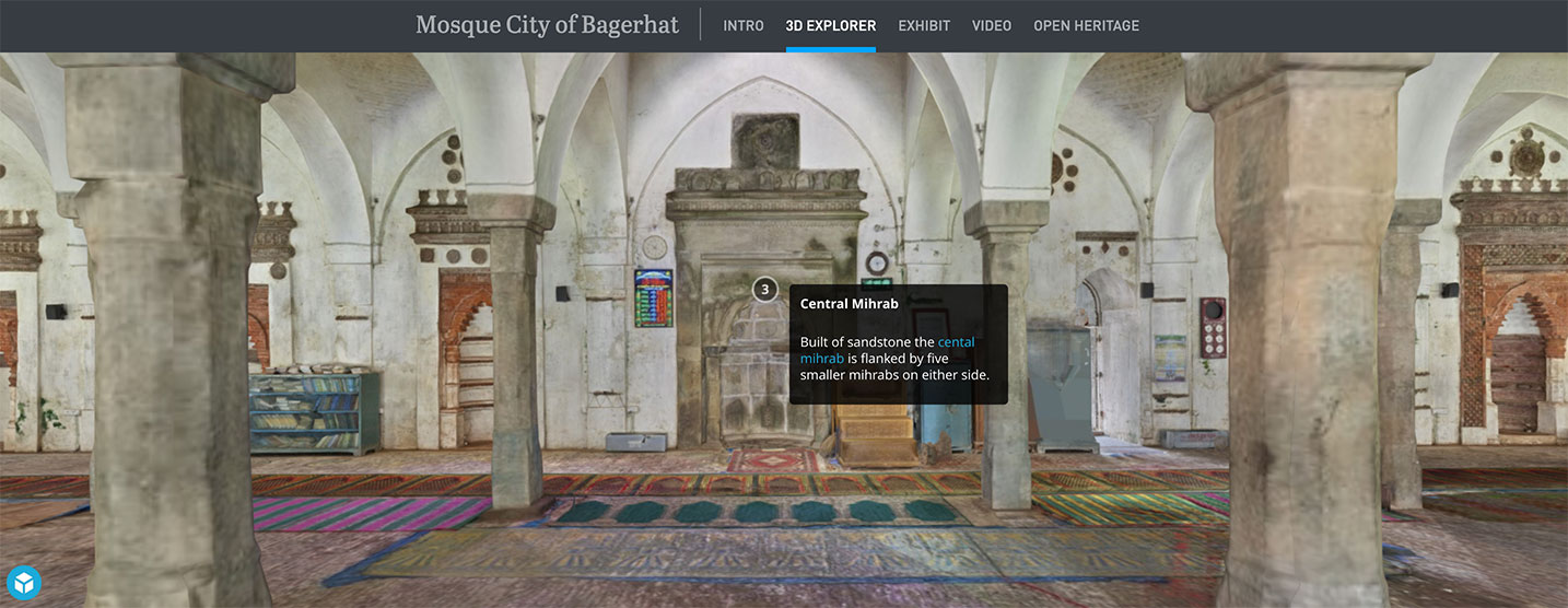
Topcon Positioning Group is partnering with CyArk, a non-profit organization committed to the conservation of cultural heritage sites […]
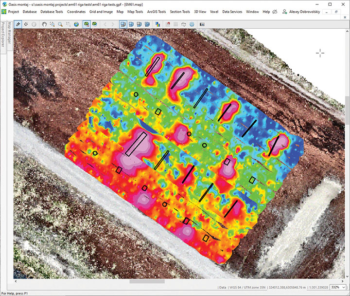
SPH Engineering has launched a drone-integrated metal detection system with a Geonics EM61Lite metal detector, a new product […]
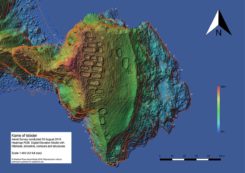
The mysterious and fascinating Kame of Isbister is situated in Shetland’s north mainland near the North Roe. The […]

The National Trust for Scotland commissioned Glasgow-based GeoGeo to carry out a drone survey of the inner Hebridean […]
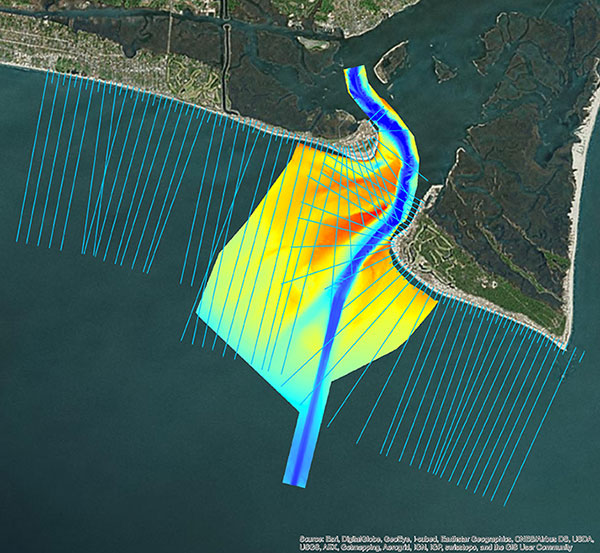
Using aerial photography and GIS technology, historians, archaeologists and environmental scientists are able to look into the past and determine what actually occurred. GIS can play a huge role in archeological projects, and with the integration of virtual reality, the possibilities are even more exciting.


Follow Us