
Emlid launches GNSS receiver line to simplify precision positioning
October 16, 2025
Emlid has introduced a new generation of all-band RTK receivers including the Reach RX2, Reach RS4 and Reach RS4 […]
Read More
Emlid has introduced a new generation of all-band RTK receivers including the Reach RX2, Reach RS4 and Reach RS4 […]
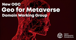
The OGC has formed the Geo for Metaverse Domain Working Group, which will serve as a forum to help build and expand the open Metaverse.
Google has launched the ARCore Geospatial API in ARCore software development kits (SDKs) for Android and iOS across […]
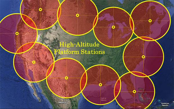
“We’re at 103,000 feet. As you look up the sky looks beautiful but hostile. …Can see for over […]
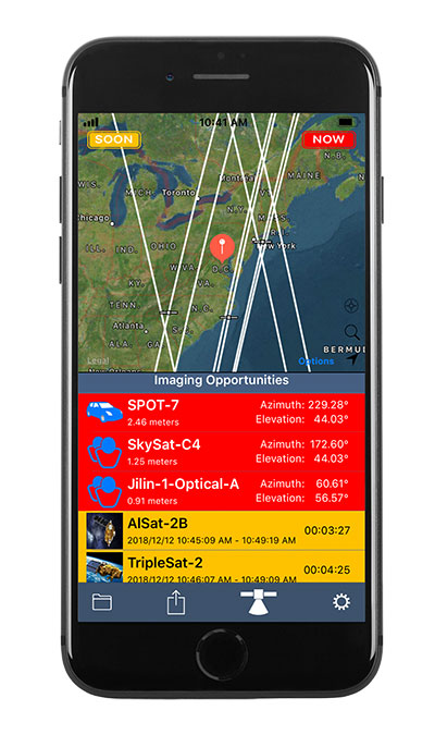
Orbit Logic’s SpyMeSat mobile app now includes an augmented reality (AR) interface for better awareness of overflying imaging satellites.

The surveying profession has experienced a plethora of advancing technology over the past two decades and it does not look like there will be a slowdown any time soon.

Hexagon AB has acquired Immersal Oy, an innovator of spatial mapping and visual positioning solutions for producing augmented […]

Drone company Parrot is partnering with Rapid Imaging, a technology provider delivering geospatial augmented reality (AR) and situational awareness solutions […]


Follow Us